Alert
Alerts
Queige - "Les Pointières" trail


Description
Born of a desire to share their collective memory, the people of Queige have created this trail to tell the story of their lives in bygone days, of peasants who wore out their "galoches" and sweated for a living.
Life in the mountains was far from easy in the past. Take a walk along the Pointières trail, created by the Queigerains themselves, and you'll discover, between meadows and gardens, the vestiges of a bygone era, such as the thatch at Baëque, a barn where you can learn about thatching techniques, or the Musée du Roselais, a former remue chalet where you can admire objects and tools from everyday life in the past:
Do you know the adze, the skeleton key, the crankshaft?
Can you tell the difference between a file and a rasp?
And the various planer blades capable of carving delicate moldings in a simple plank, or the shoemaker's anvil on which the wooden soles of galoshes were nailed.
Finally, there's the Veuillettes garden, where five families lived for part of the year in the midst of some 20 hectares of land. The panorama over the Albertville valley is also quite remarkable!
Technical Information
Altimetric profile
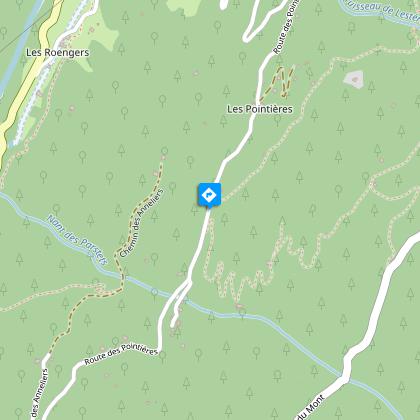
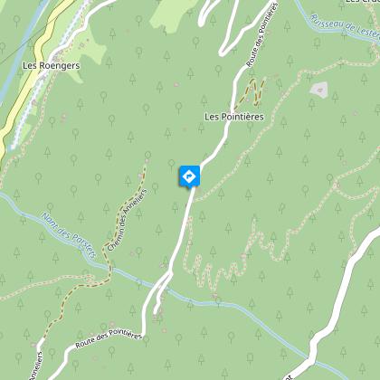
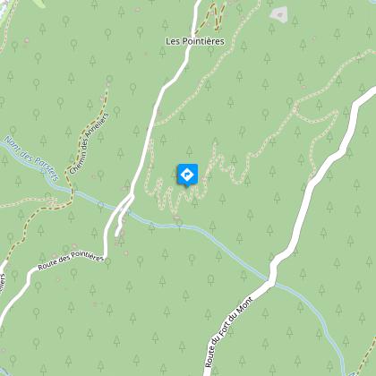
Starting point
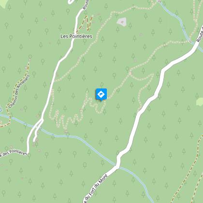
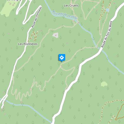
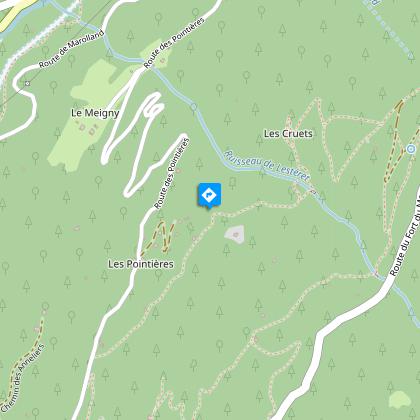
Steps
Points of interest
Additional information
Updated by
Maison du Tourisme du Pays d'Albertville - 27/11/2025
www.pays-albertville.com
Report a problem
Location complements
From Queige, take the RD 925 towards Albertville. After the first bridge over the Gorges du Doron, turn left towards Les Pointières and climb for 5 km. Park at the chapel or by the roadside.
Open period
From 01/05 to 01/10.
Contact
Phone : 06 08 00 43 78
Email : promotion@arlysere.fr
Website : http://www.lebeaufortain.com
Guidebook with maps/step-by-step
Start: at the Pointières chapel (943 m), follow the signs for the "Circuit des Pointières". The trail passes through the following hamlets and villages in turn:
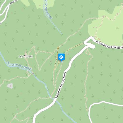
1/ Les Cruets (1131 m): bread oven
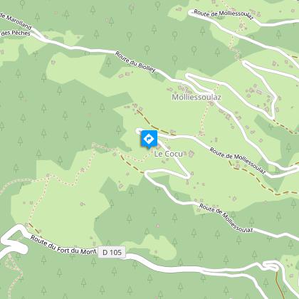
2/ Le Barnard (1189 m): the meadow, then La Grange à Pauline
3/ Les Veuillettes (1163 m): garden
4/ Le Chaume à Baëque: barn
5/ Le Roselais (1064 m): museum - a former remue cottage displaying objects and tools from bygone days
You'll be able to take a short walk along the trail from Le Roselais to the chapelle des Pointières, your starting point.
Animals
Yes
Data author
