Alert
Alerts
Bisanne tour by Croix de Coste

Description
All along the hike, enjoy seesights on mountains : on the way out, Roselend lake, Le Mirantin and Les Bauges and, on the way back, Aravis and Mont Blanc! Not to mention the marmots which live in various places.
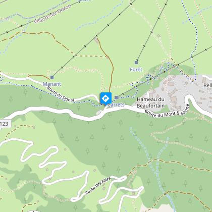
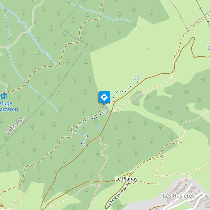
Departure from the "sous Bisanne" car park, on the Mont Bisanne road from the D123 (Villard - Les Saisies).
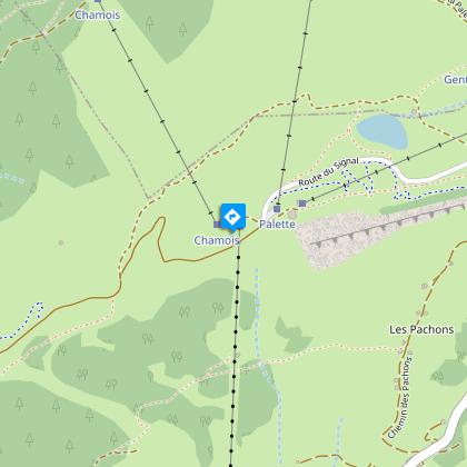
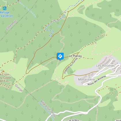
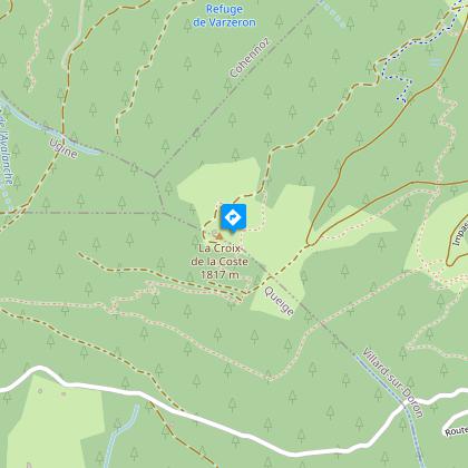
The recommended route starts with a descent towards Les Pachons, then a crossing above the Bisanne 1500 resort by Le Planay; then, by the forest track, you join the Croix de Coste path on the left. From there, we head east again and follow the wooded ridge to the Lata du Vaz; then it's the crossing under Bisanne, on the Saisies side, to the departure car park.
Before setting off on any hike, walk or activity in the open air, make sure you are aware of the rules of safety and good conduct!
Useful information and contacts
European emergency number: 112
Météo France: 0 892 68 02 73
Technical Information
Altimetric profile
Starting point
Date and time
- From 01/05/2026 to 01/10/2026
- From 01/05/2027 to 01/10/2027
Additional information
Updated by
Communauté d'agglomération Arlysère - 17/01/2026
www.lebeaufortain.com
Report a problem
Environments
Mountain view
Mountain location
Open period
From 01/05 to 01/10.
Contact
Phone : 04 79 38 90 30
Email : info@lessaisies.com
Website : https://www.lessaisies.com
Facebook : https://www.facebook.com/LesSaisies
Type of land
Suitable for all terrain strollers
Topo guides and map references
Topo guides references :
"Balades en Beaufortain" on sale at the Tourist Office
Map references :
IGN map of hiking in Beaufortain on sale at the Tourist Office
Animals
Yes
