Alert
Alerts
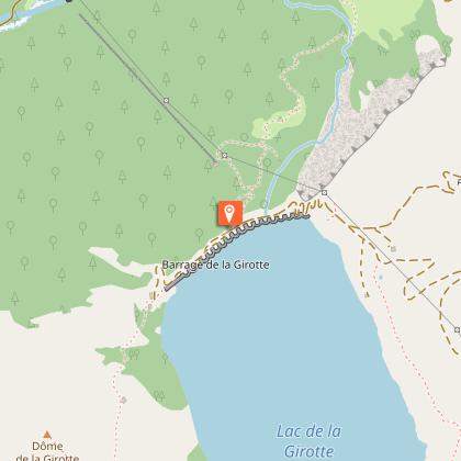
Hauteluce - Girotte Dam

Technical Information
Altimetric profile
Starting point
Points of interest
Date and time
- From 01/06/2026 to 01/10/2026
Additional information
Updated by
Communauté d'agglomération Arlysère - 24/11/2025
www.lebeaufortain.com
Report a problem
Environments
Mountain view
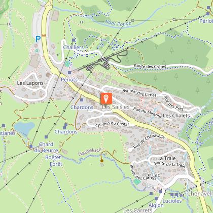
Mountain location
Open period
From 01/06 to 01/10.
Contact
Phone : 06 08 00 43 78
Email : promotion@arlysere.fr
Website : http://www.lebeaufortain.com
Topo guides and map references
Topo guides references :
"Balades en Beaufortain" on sale at the Tourist Office
Map references :
IGN map of hiking in Beaufortain on sale at the Tourist Office
Type of land
Suitable for all terrain strollers
Reception complements
Before setting off on any hike, walk or activity in the open air, make sure you are aware of the rules of safety and good conduct!
Useful information and contacts
European emergency number: 112
Météo France: 0 892 68 02 73
Animals
Yes
