Alert
Alerts
Hauteluce - Fenetre pass


Description
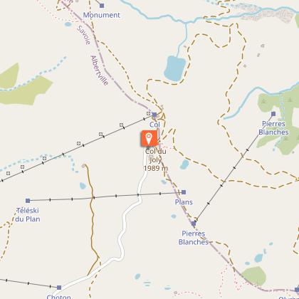
This hike, linking the Col du Joly to the Col de la Fenêtre, allows you to evolve without great difficulty in a mountain atmosphere at an altitude of 2000 m. The itinerary offers beautiful panoramas of the Mont Blanc and Beaufortain massifs.
Technical Information
Altimetric profile
Starting point
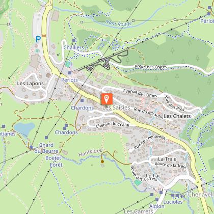
Points of interest
Date and time
- From 01/05/2026 to 01/10/2026
Additional information
Updated by
Communauté d'agglomération Arlysère - 24/11/2025
www.lebeaufortain.com
Report a problem
Environments
Mountain view
Mountain location
Open period
From 01/05 to 01/10.
Contact
Phone : 06 08 00 43 78
Email : promotion@arlysere.fr
Website : http://www.lebeaufortain.com
Type of land
Suitable for all terrain strollers
Topo guides and map references
Topo guides references :
"Balades en Beaufortain" on sale at the Tourist Office
Map references :
IGN map of hiking in Beaufortain on sale at the Tourist Office
Animals
Yes
