Alert
Alerts
Type of practice
Walking
45mn
Presentation
Description
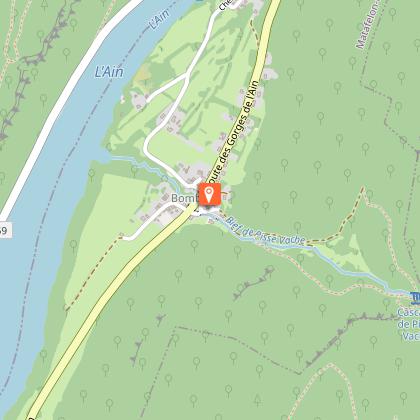
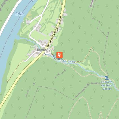
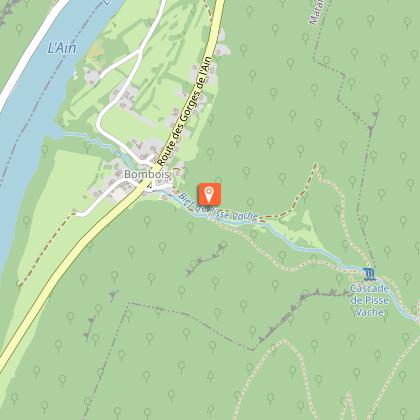
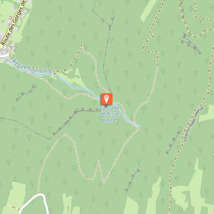
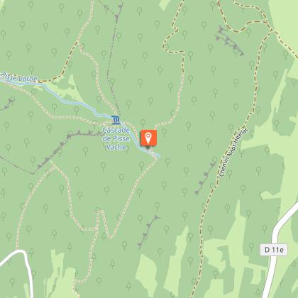
Map
Steps
Points of interest
Ratings and reviews
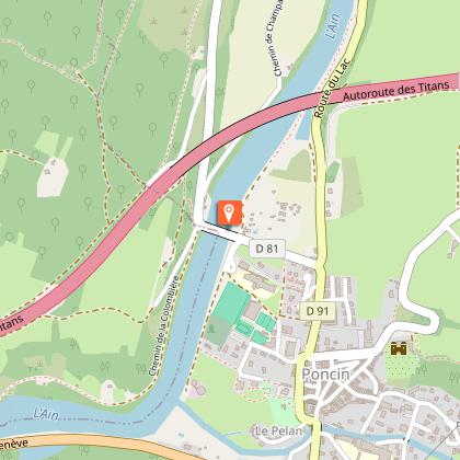
See around
Pisse-Vache Hiking Path
IGN cards
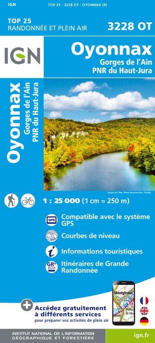
3228OT - OYONNAX GORGES DE L'AIN PNR DU HAUT-JURA
Editor : IGN
Collection : TOP 25 ET SÉRIE BLEUE
Scale : 1:25 000
13.90€

TOP100D01 - AIN BOURG-EN-BRESSE AMBÉRIEU-EN-BUGEY PAYS DE GEX
Editor : IGN
Collection : TOP 100
Scale : 1:100 000
8.40€

TOP100D74 - HAUTE-SAVOIE ANNECY THONON-LES-BAINS MASSIF DU MONT BLANC CHAÎNE DES ARAVIS
Editor : IGN
Collection : TOP 100
Scale : 1:100 000
8.40€

202 JURA ALPES DU NORD
Editor : IGN
Collection : TOP 200
Scale : 1:200 000
6.80€

D01-69 AIN RHÔNE
Editor : IGN
Collection : CARTES DÉPARTEMENTALES IGN
Scale : 1:150 000
5.90€

D71 SAÔNE-ET-LOIRE
Editor : IGN
Collection : CARTES DÉPARTEMENTALES IGN
Scale : 1:150 000
5.90€

D25-39 DOUBS JURA
Editor : IGN
Collection : CARTES DÉPARTEMENTALES IGN
Scale : 1:150 000
5.90€

NR15 AUVERGNE-RHÔNE-ALPES RECTO/VERSO MASSIF ALPIN
Editor : IGN
Collection : CARTES RÉGIONALES IGN
Scale : 1:250 000
6.80€

NR09 BOURGOGNE FRANCHE-COMTÉ
Editor : IGN
Collection : CARTES RÉGIONALES IGN
Scale : 1:250 000
6.80€

NR14 AUVERGNE-RHÔNE-ALPES RECTO/VERSO MASSIF CENTRAL
Editor : IGN
Collection : CARTES RÉGIONALES IGN
Scale : 1:250 000
6.80€

EUROPE
Editor : IGN
Collection : DÉCOUVERTE DES PAYS DU MONDE IGN
Scale : 1:2 500 000
7.00€
Description
This charming walk through the forest from the picturesque village of Bombois on the banks of the River Ain to the oddly named Pisse-Vache Waterfall is great fun for all the family and takes about 45 minutes to complete.
Technical Information
Walking
Difficulty
Not specified
Duration
45mn
Dist.
1.6 km
Type of practice
Walking
45mn
Show more
Altimetric profile
Starting point
Place des Deux Fours Bombois
,
01580
Matafelon-Granges
Lat : 46.221831Lng : 5.483336
Steps
Points of interest
Additional information
Environments
Forest location
In the country
Village centre
Updated by
Office de Tourisme du Haut-Bugey - 17/12/2025
www.hautbugey-tourisme.com/
Report a problem
Contact
Phone : 04 74 12 11 57
Website : https://www.hautbugey-tourisme.com/
Facebook : https://www.facebook.com/hautbugeytourisme
Animals
Yes
Data author

proposed by
Haut-Bugey Tourisme
14 rue du Docteur Mercier 01130 Nantua France
Ratings and reviews
To see around