Alert
Alerts
Hike "les bords de l'Ain" from Poncin
Description
Hike to discover the Ain river gorges.
Distance : 25km - Hours : 7 - Slope : 654m
From 1st June to 30th September 2015, the Serrières-sur-Ain bridge will be closed for works. The hike can not be followed in totality : the round trip will be necessarly by the same bank.
Technical Information
Altimetric profile
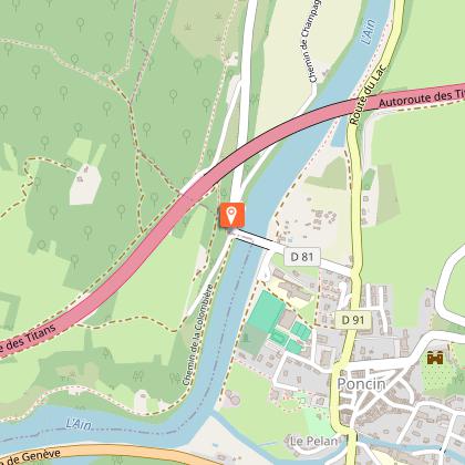
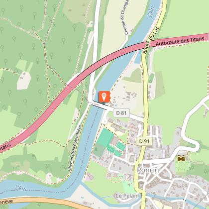
Starting point
Points of interest

Additional information
Environments
In the country
Riverside
Panoramic view
Updated by
GIP Cerdon Vallée de l'Ain - 10/10/2025
www.cerdonvalleedelain.fr
Report a problem
Open period
All year round.
Contact
Phone : 04 69 19 11 50
Email : contact@cerdonvalleedelain.fr
Website : https://www.cerdonvalleedelain.fr
Facebook : https://www.facebook.com/cerdonvalleedelain
Location complements
Starting point : Foyer Rural
Road D1084 Poncin
A 42 motorway exit junction n°9 Pont-d'Ain then D1084 toward Nantua / Genève
A40 motorway exit junction n°8 Saint-Martin-du-Fresne then D1084 toward Poncin
Animals
Yes
