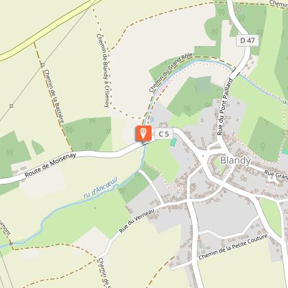
The stream that this bucolic route leads you along on both sides of the valley has a name that can be confusing: the ru d’Ancoeuil... Certified by FFRandonnée.
...Just before Blandy-les-Tours, it is called the Ancoeur, then after crossing the Vaux-le-Vicomte park, it becomes the Almont.
Route description :
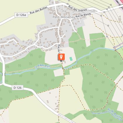
1. With your back to the parking area of Rue Saint-Martin, turn left, then turn left again onto Rue Raoul Kourilsky. Turn left onto Rue Vauchèvres, then right onto Chemin de l’Aiguillon. Follow it for 1.5 km, passing under high-voltage power lines, over the A5 motorway and the railway line. At the second junction after this, turn right, pass under the power lines again, and descend through the woods called Bois de l’Aiguillon. Cross the Ru de Bouisy stream and follow the Ru d’Ancoeuil stream.
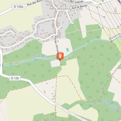
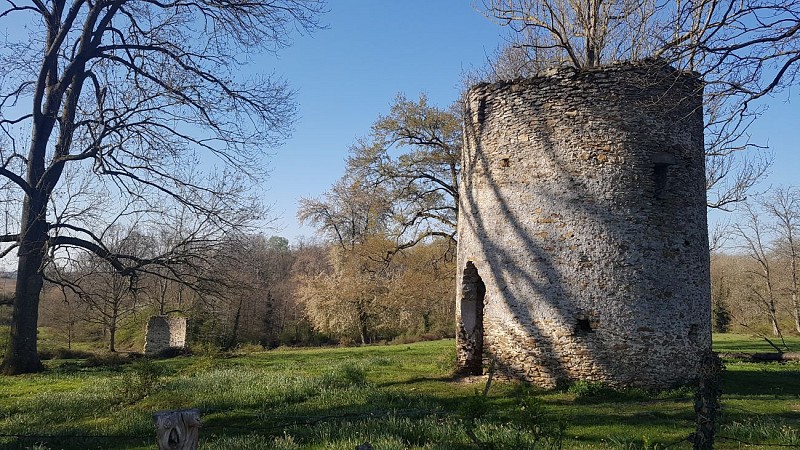
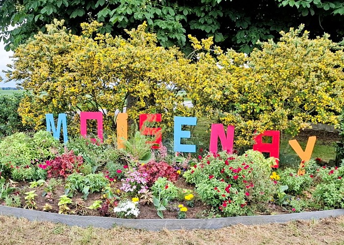
2. Climb the path on the left, turn right twice, and cross the RD126 road (caution !). The path runs along the edge of the woods and crosses a small grove. Ignore the path on the left and cross the road. Continue slightly uphill, keeping left, then descend to follow the path on the right, which continues straight and becomes the road leading to the mill called Moulin de Pouilly. This road crosses the Ru d’Ancoeuil stream and becomes Rue du Moulin as you enter Moisenay.
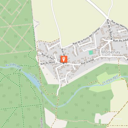
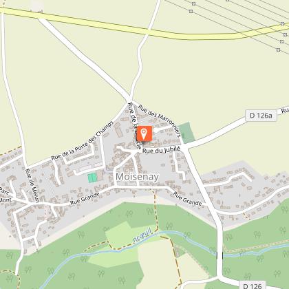
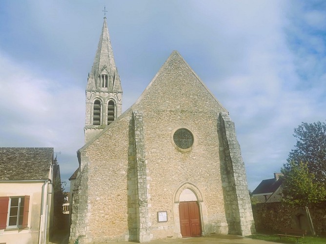
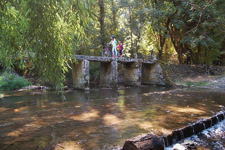
3. Take the street called Rue Grande on the right and, 450 meters further, turn left onto Rue de l’École. Turn right at Place de l’Église and walk along the church on your left (12th–13th century, probably one of the oldest in Seine-et-Marne that has never been modified). In the street, turn right, which leads back to Rue Grande. Follow it to the left, then go down a small lane on the right. Cross the stream (ford and bridge), at the wastewater treatment plant turn left, cross the stream and reach the road. Turn left, then left again onto Route de Courtry, cross the bridge, and turn right onto Chemin de Mazot. Follow the stream to reach the Moulin de la Roue.
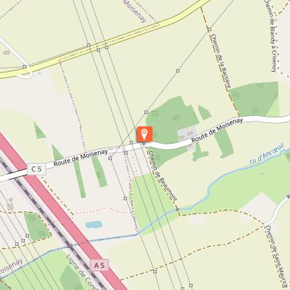
4. Go up Rue du Centre on the left. At the crossroads, continue straight ahead, then take the small lane called Rue de Maurevert on the right and continue along the path. Cross another path and pass under the high-voltage lines to reach the railway and motorway, then take the path on the right. Walk along the grove, follow the high-voltage lines, and turn right onto the road.
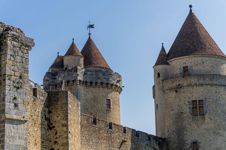
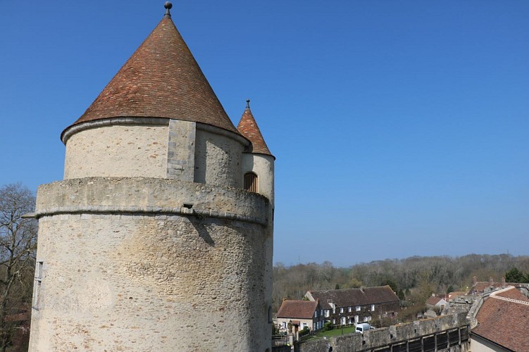
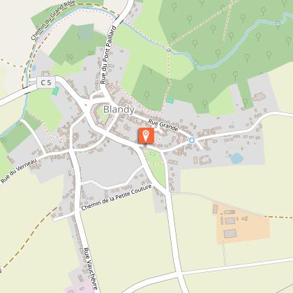
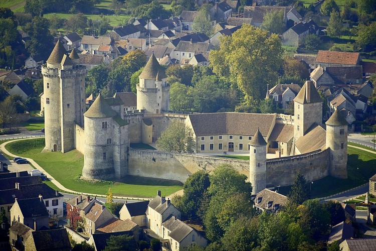
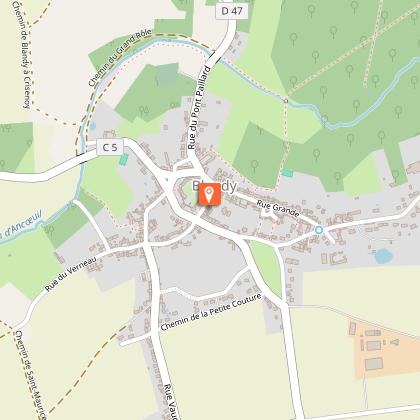
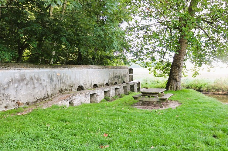
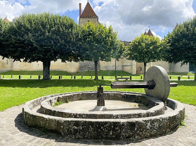
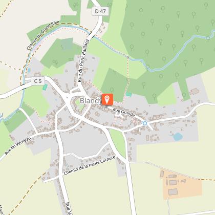
5. Leave the road and take the path on the right. It crosses the Ancoeuil valley (Fontaine Viviais on the way up). At the junction, follow the path on the left, which becomes Rue du Verneau. After 400 meters, turn left onto a descending path towards the stream, follow it and it will lead you back to Rue de la Fontaine, which opens onto Place des Tours (a visit to the castle is a must). Turn right to return to the starting point.
We have no information on the difficulty of this circuit. You may encounter some surprises along the way. Before you go, please feel free to inquire more and take all necessary precautions. Have a good trip! 🌳🥾
Are you sure you want to delete your account?
This operation is irreversible and will permanently delete all data associated with your account, including routes, points of interest, widgets, statistics...Deletion will be effective across all applications published by Cirkwi and on Cirkwi web platforms.
Are you sure you want to delete your account?
Warning, you will be logged out, and your account deletion will take immediate effect.Do you confirm the permanent deletion of your account?You have 30 days to reconnect and reactivate your account before its permanent deletion.