Alert
Alerts
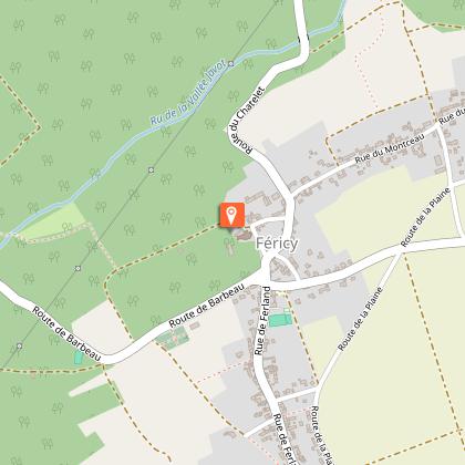
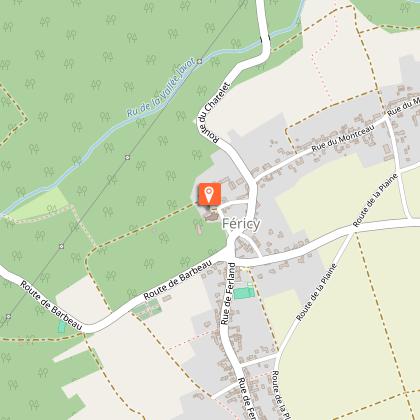
Féricy, from Javot to Sainte-Osmanne


Description
This itinerary takes you through fields, woods, and villages, the plateau overlooking a valley on the edge of the Barbeau forest, which faces the Fontainebleau forest across the Seine. Certified by FFRandonnée.
Route description :
1. With your back to Rue de Ferland, walk along the village hall, cross the second parking area, take the access ramp and follow the path on the right. Turn left onto Route de la Plaine, cross the RD107, then turn left onto Rue du Bon Puits and enter the hamlet of Montceau. Turn right twice, then follow the paved path of Fontaine Ory on the left until you reach the hamlet and the fountain of the same name.
2. Go down to the left, the paved road becomes a dirt track. Turn left, then right on the paths, following the edge parallel to the Vallée Javot stream. Reach the RD210, leave Vallerand bridge on your right and go up to the left (caution), turn right onto a path, then right again onto the next one. Turn left twice to climb into the field, then go right and left.
3. Follow Rue du Montceau on the right, then Rue de Lorette on the left (RD110), then Rue de l’Église on the right. In front of the church take the path on the right along the castle park which leads to Route de Barbeau. Turn right, and in the bend, take the second path on the left. It runs along the edge, alternating between fields and woodland edges. Leave the path on the left and reach the washhouse.
4. Turn left, Rue de la Fontaine, then 400 m further on, turn left, Chemin de Champagne. Take the second path on the right, which leads back to Rue de Ferland then return to the starting point on the left.
Municipality crossed : Féricy
Distance : 7,1 km - Duration : 2h20 – Marked trail : Blue - Difficulty : Easy
Access to the map : www.cirkwi.com/fr/circuit/353264-fericy-du-javot-a-sainte-osmanne
Technical Information
Altimetric profile
Starting point
Points of interest


Additional information
Environments
In the country
Updated by
Communauté de Communes Brie des Rivières et Châteaux - 29/04/2026
www.briedesrivieresetchateaux.fr
Report a problem
Open period
All year round daily.
Contact
Email : seine-et-marne@ffrandonnee.fr
Website : http://www.randonnee-77.com/
