Alert
Alerts
KV du Grand Croisse Baulet
Description
A sporty vertical kilometer that will take you to one of the most beautiful views in Haute-Savoie. Indeed, from the summit, you can contemplate the Mont-Blanc chain, but also the Aravis just behind, and the Fiz further to the left!
Technical Information
Altimetric profile
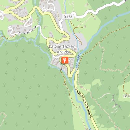
Starting point
Date and time
- From 01/06/2026 to 31/10/2026
Additional information
Open period
From 01/06 to 31/10.
Updated by
Office de Tourisme du Val d'Arly - 10/10/2025
www.valdarly-montblanc.com
Report a problem
Environments
Mountain location
Contact
Phone : 04 79 32 91 90
Email : info@la-giettaz.com
Website : https://www.la-giettaz.com
Facebook : https://www.facebook.com/LaGiettaz.Tourisme
Type of land
Stone
Ground
Location complements
Parking and toilets in the P2 car park after the chapel on the left.
Topo guides and map references
Topo guides references :
Topoguide "Itinéraires Trail Val d'Arly / Beaufortain" on sale in tourist offices.
Reception complements
Duration: between 0h40 and 2h. Rating of the course: VIOLET.
Guidebook with maps/step-by-step
From the hamlet of PLAN (1220m) in La Giettaz, climb towards CRÉPINIÈRE, then start the ascent via LA STAVANE (1550m), then LE LEUTA (1755m). Continue for 1.5km to the top of the GRAND CROISSE BAULET (2236m) where a magnificent panorama awaits you! Then attack the descent by the same route.
Animals
No. Animals not recommended in the Croisse-Baulet sector.
