Alert
Alerts
Between Vienna and Diège

IGN cards


Description
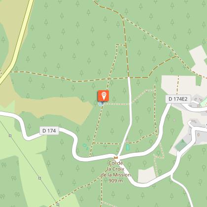
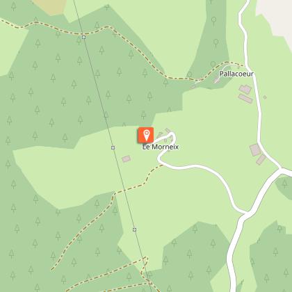
This is a varied circuit exploring the traditional rural buildings of the commune of Saint-Setiers, the forests, springs and viewpoints over the Monts d'Auvergne; enough to delight any walker!Park in the car park behind the church. Go down towards the village.Take the road to the right. At the church crossroads, go up towards Peyrelevade. Leave the cemetery on the right and the road to Sounaleix on the left (return trip to the Parc des Arbres Redressés). 50 m further on, take the path on the right that passes the mutineers' hut.Cross the road and continue straight ahead. Ignore a path on the left; take the next one that goes past the chapel. Continue straight on, crossing a track to reach the fountain.Turn right. At the end of the track, turn left. Go downhill for 400 m and take the path on the right. Turn left at the next crossroads: the path turns and joins a track. Turn left onto it.Before you reach the Departmental road, take the path on the right. Ignore a path on the left. A short round trip to the source of the Diège at the second crossroads. Continue straight ahead. The path goes up to a track. Follow it to the left. Go straight on at the next crossroads to descend to Morneix.Go through the village, cross the stream and then follow the path up to the right; on a flat area, go left. Join a path that you take on the right to go around a valley, ignoring two paths on your right. On the descent, turn right; the path leads up to an electricity pylon. Continue to the right.At the end of the path, go up to your right. Go straight on at the next crossroads. At the Y-junction (view of the chapel), turn left. Go downhill, ignoring a path on the right, to join the road.Turn left onto it. A short walk to the orientation table and back. Continue straight downhill. At the sorting containers, turn right to get back to the starting point.
Technical Information
Altimetric profile
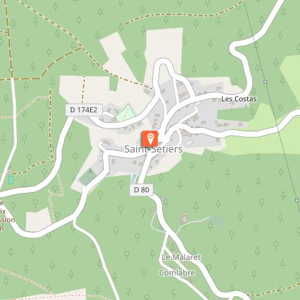
Starting point
Steps
Points of interest


Additional information
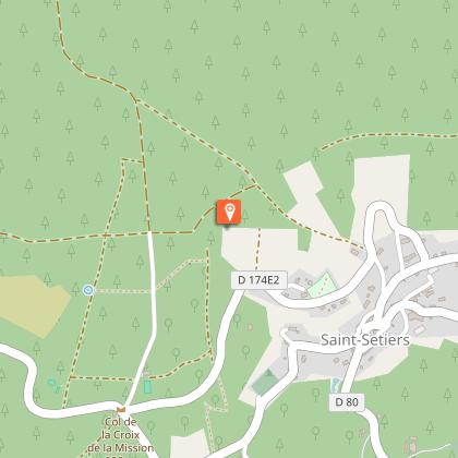
Advised parking
Town Hall Square, Saint-Setiers
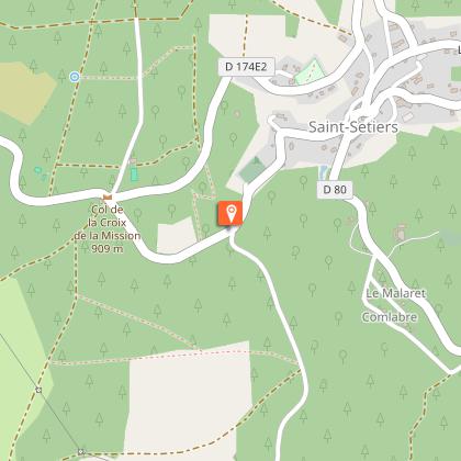
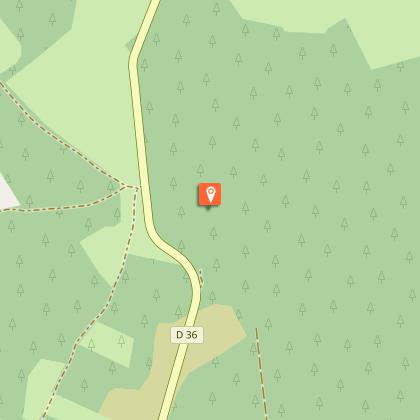
Access
22 km from Meymac, follow the D 36.
Ambiance
This walk, starting from the village of Saint-Setiers, takes you to the watershed between the Dordogne and Loire basins: you will discover one of the sources of the Diège and one of the sources of the Vienne. On the outskirts of the town, don't miss the Parc des Arbres Redressés with its sculptures. On the plateau, the chapel and then the Saint Sagittarius spring recall the history of this evangelising saint who lived in the region.
Arrival
City hall, Saint-Setiers
Departure
City hall, Saint-Setiers
