Alert

Alerts

To see around
See more
Open
Close
Show
Show
Show
Show
Show
Show
Show
Show
Show
Show
Show

Oups... It would appear that Cirkwi does not have permission to use your location.

Presentation
Description
Map
Points of interest
Ratings and reviews
See around

From Roc des Évettes to Ban Rouge

Description

A beautiful loop that will take you to the most beautiful peaks, from the crests of Les Evettes to the panorama of Mont-Blanc from Ban Rouge!

This route is taken clockwise.

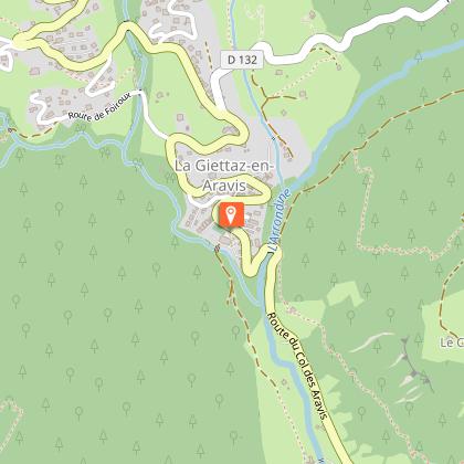
DEPARTURE: Le Planay, Mont-Rond car park at Notre Dame de Bellecombe.
ROUTE: from the car park, cross the road towards LE CRÊT, then climb the path to reach LE PLAN DU DRAYON. From there, continue for LE GOLET, then, turn right for LE ROC DES EVETTES, and LE COL DU DRAYON (1517m). Continue 1.8km to arrive SOUS LE QUÉZET, then SOUS LA CROIX and finally reach LE CRÊT DU MIDI (1890m). Follow the ridge to the panorama of BAN ROUGE, then SOUS BAN ROUGE. Attack the descent with objective SUR LE TRE, LE BOUZA, SOUS LE BOUZA, and arrive at PLAN DESERT (1491m). Continue towards LE STOMU, LE CHARDONNET, LES COMBES, then return to PLANAY (1310m).

Technical Information

Trail running
Difficulty
Medium
Duration
3h40mn
Dist.
16 km
Show more

Altimetric profile

Starting point

73590   Notre-Dame-de-Bellecombe
Lat : 45.804127Lng : 6.550383

Points of interest

image du object

La Grande Bambée trail run

La Giettaz offers the the 6th edition of its outdoor sporting event set against the backdrop of Mont Blanc and the Aravis mountains ! With 4 itineraries, 44km, 28 km, 16km and 10km, this is a playground boasting 360° panoramic views, making it an event not to be missed!Bambée, to communicate a great distance ! Choice of 4 itineraries : * La Bambette : 10 km with 600m of uphill climb Start in the village - la Gardette - Le Col des Aravis - L'Alpage des Plachaux - Psamo - Foiroux – Finish in the village * La Petite Bambée : 16 km with 920m of uphill climb Start in the village - la Gardette - Le Col des Aravis - L'Alpage des Plachaux - Le Chalet du Curé - Blanchet – Finish in the village * La Bambée : 28 km with 1780m of uphill climb Start in the village - Le Plan - Alpage de Pététruy - Col de Niard - Tour du Croisse Baulet - Col du Jaillet - Les Crêtes- La Tête du Torraz – Finish in the village. * La Grande Bambée : 44 km with 2700m uphill climb Same start as La Petite Bambée + Le Plan - Alpage de Pététruy - Col de Niard - Tour du Croisse Baulet - Col du Jaillet - Les Crêtes- La Tête du Torraz – Finish in the village. Extras ! - For all levels - Passage through the alpine pastures - Large space and XXL panoramas This event takes place on mountain routes and weather conditions can change very quickly, so it is compulsory to bring the equipment noted below: * Compulsory equipment : - Mobile phone in working order - Water reserve of at least 0.5 litres - Waterproof jacket with hood (Gore-Tex type) adapted to your size - Survival blanket (140cm x 200cm) * Recommended equipment depending on weather conditions: - Hat, tights, gloves The organisation reserves the right to refuse the start to a competitor who is not sufficiently equipped for the weather conditions.

Chef-Lieu 73590 La Giettaz
- Office de Tourisme du Val d'Arly -
Consulter

Date and time

  • From 01/06/2026 to 31/10/2026

Additional information

Open period

From 01/06 to 31/10.

Updated by

Office de Tourisme du Val d'Arly - 02/09/2025
www.valdarly-montblanc.com
Report a problem

Type of land

Stone
Ground

Topo guides and map references

Topo guides references :
Topoguide "Itinéraires Trail Val d'Arly / Beaufortain" on sale in tourist offices.

Reception complements

Duration: between 1h50 and 3h40.

Animals

Yes. Pets allowed on a leash only.

Ratings and reviews

To see around
See more
Open
Close
Show
Show
Show
Show
Show
Show
Show
Show
Show
Show
Show
Caution!
We have no information on the difficulty of this circuit. You may encounter some surprises along the way. Before you go, please feel free to inquire more and take all necessary precautions. Have a good trip! 🌳🥾