Alert
Alerts
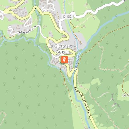
La Croix de Ptiouta
Description
Short race in the mountain pastures, near the village of La Giettaz, with a beautiful view of the Mont-Blanc massif!
ROUTE: From the Tourist Office, climb along the Route des Grandes Alpes, then turn right towards LA CHAPELLE DES NANTS. At PONT NOIR, cross the road and go up towards LES
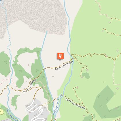
PUGINIÈRES, PÉTAZ and BOIS DU FOUESTARLE. Turn right on the Route des Chalets (mountain track) to LA CROIX DE PTIOUTA (1540m). From there, go down to the right on LA STAPESSE and return to the balcony at PETAZ. Return to La Giettaz by the same route as the outward journey.
Technical Information
Altimetric profile
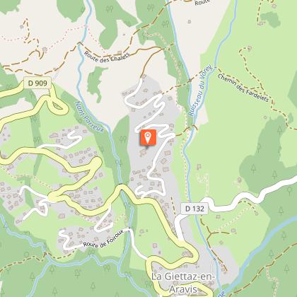
Starting point
Points of interest
Date and time
- From 01/06/2026 to 31/10/2026
Additional information
Updated by
Office de Tourisme du Val d'Arly - 10/10/2025
www.valdarly-montblanc.com
Report a problem
Environments
Mountain location
Open period
From 01/06 to 31/10.
Contact
Phone : 04 79 32 91 90
Email : info@la-giettaz.com
Website : https://www.la-giettaz.com
Facebook : https://www.facebook.com/LaGiettaz.Tourisme
Topo guides and map references
Topo guides references :
Topoguide "Itinéraires Trail Val d'Arly / Beaufortain" on sale in tourist offices.
Type of land
Stone
Ground
Reception complements
Duration: between 0h45 and 1h30.
Animals
Yes. Pets allowed on a leash only.
