The Treu / Stata Panoramic Loop
Description
Departing from Les Avenières or the small hamlet of Chaucisse, this route will allow you to discover the most beautiful panoramas of the Val d'Arly, with a 360° view of Mont-Blanc!
After starting from the AVENIÈRES car park (1535m), start the climb towards TREU (1835m). After enjoying the panorama, continue the path to reach LES STALLETS, LES HAUTS DE BOGNEUVE and descent to BOGNEUVE. Again, climb towards PELOSET, and the CROIX STATA (1782m) where a magnificent panorama awaits you! Continue to arrive at SOUS LA CROIX, then attack the descent to CARRÉS. From there, take the path for CHAUCISSE, then once past the hamlet, continue in the forest on NANT DE CHAUCISSE, SOUS LE TREU
and finally, return to the AVENIÈRES car park.
Technical informations
14 km
|
max. 1824 m
min. 1282 m
780 m
780 m
| |||
Altimetric profile
Starting point
Points of interest
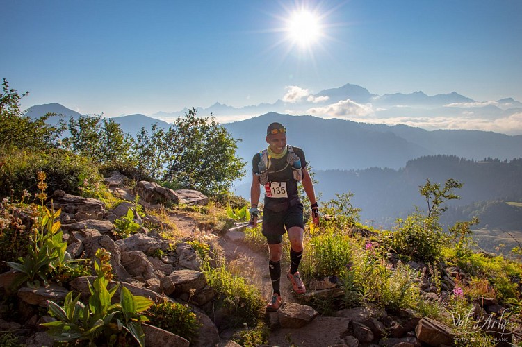
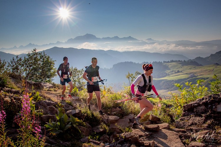
Arly Cîmes Trail - 9th édition
The 9th edition of the Arly Cimes Trail will take place on June 23, 2024 !
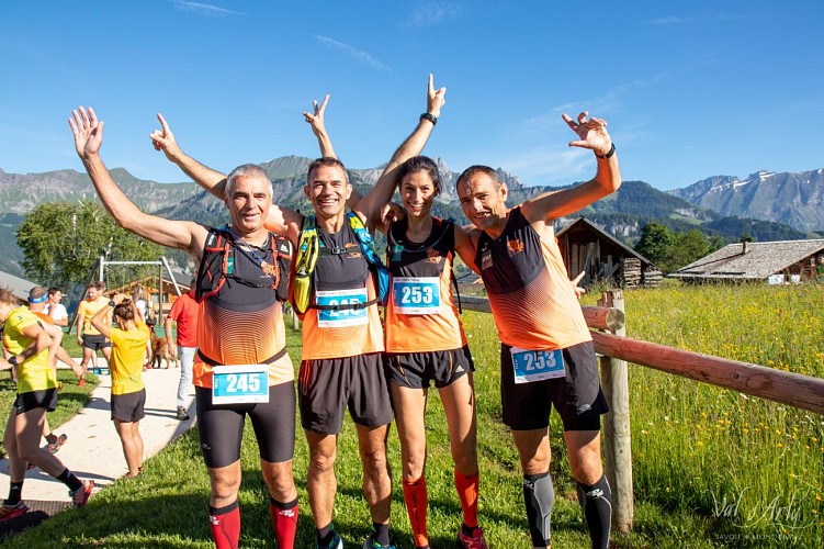
La Grande Bambée trail run
La Giettaz offers the the 3rd edition of its outdoor sporting event set against the backdrop of Mont Blanc and the Aravis mountains ! With 4 itineraries, 44km, 28 km, 16km and 10km, this is a playground boasting 360° panoramic views, making it an event not to be missed!Bambée, to communicate a great distance ! Choice of 4 itineraries : * La Bambette : 10 km with 600m of uphill climb Start in the village - la Gardette - Le Col des Aravis - L'Alpage des Plachaux - Psamo - Foiroux – Finish in the village * La Petite Bambée : 16 km with 920m of uphill climb Start in the village - la Gardette - Le Col des Aravis - L'Alpage des Plachaux - Le Chalet du Curé - Blanchet – Finish in the village * La Bambée : 28 km with 1780m of uphill climb Start in the village - Le Plan - Alpage de Pététruy - Col de Niard - Tour du Croisse Baulet - Col du Jaillet - Les Crêtes- La Tête du Torraz – Finish in the village. * La Grande Bambée : 44 km with 2700m uphill climb Same start as La Petite Bambée + Le Plan - Alpage de Pététruy - Col de Niard - Tour du Croisse Baulet - Col du Jaillet - Les Crêtes- La Tête du Torraz – Finish in the village. Extras ! - For all levels - Solo or relay (Grande Bambée) - Passage through the alpine pastures - Large space and XXL panoramas This event takes place on mountain routes and weather conditions can change very quickly, so it is compulsory to bring the equipment noted below: * Compulsory equipment : - Mobile phone in working order - Water reserve of at least 0.5 litres - Waterproof jacket with hood (Gore-Tex type) adapted to your size - Survival blanket (140cm x 200cm) * Recommended equipment depending on weather conditions: - Hat, tights, gloves The organisation reserves the right to refuse the start to a competitor who is not sufficiently equipped for the weather conditions.
Date and time
- From 01/06/2024 to 31/10/2024
- From 01/06/2025 to 31/10/2025
Additional information
Reception conditions for animals
Pets allowed on a leash only.
Updated by
Office de Tourisme du Val d'Arly - 25/04/2024
www.valdarly-montblanc.com
Report a problem
Environments
Mountain location
Open period
From 01/06 to 31/10.
Contact
Phone : 04 79 31 61 08
Email : info@flumet-montblanc.com
Website : www.flumet-montblanc.com
Facebook : www.facebook.com/flumet.stnicolaslachapelletourisme
Location complements
For a departure from Les Avenières, park either in the bend before the road that goes up to Les Avenières, or below the Alpage des Avenières if the vehicle is high enough to take the road.
Topo guides and map references
Topo guides references :
Topoguide "Itinéraires Trail Val d'Arly / Beaufortain" on sale in tourist offices.
Type of land
Stone
Ground
Reception complements
Duration : between 1h45 and 3h30.
