Alert
Alerts
Promenade des Estives


Description
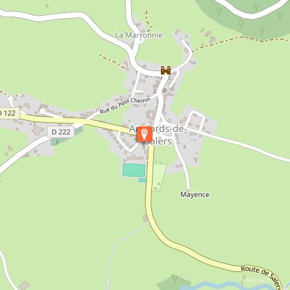
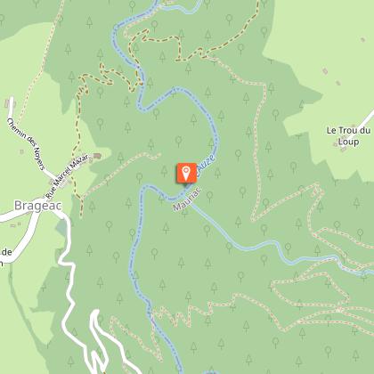
From Anglards-de-Salers, follow the signs and take the “Estives”road. The highest altitude is 1200 metres in the hamlet of Fignac. Leave your car in the small carpark and let yourself be guided… During the 1h30/2h walk, you will admire the Cantal Mountains on the way out and the Sancy and Limousin mountains on the way back. The panels made of enamelled lava will help you to learn more about our heritage notably the “burons”, mountain dairies.
From Anglards-de-Salers, follow the signs and take the "Estive road" . The highest altitude is 1200 metres in the hamlet of Fignac. Leave your car in the small car park and let yourself be guided… During the 1h30/2h walk, you will admire the Cantal Mountains on the way out and the Sancy and Limousin mountains on the way back. The panels made of enamelled lava will help you to learn more about our heritage notably the "burons", mountain dairies. At the end, have a picnic near the "Buron de la Béliche" (free entrance), a previous dairy recently restored and admire the viewpoint !
Technical Information
Altimetric profile
Starting point
Points of interest
Additional information
Environments
In the country
Mountain view
Updated by
Office de Tourisme du Pays de Salers - 12/06/2025
www.salers-tourisme.fr/
Report a problem
Open period
All year round.
Subject to favorable weather.
Contact
Phone : 04 71 40 00 02
Email : mairie@anglards-de-salers.fr
Facebook : www.facebook.com/mairieanglardsdesalers/
Type of land
Stone
Grit
Animals
No
Data author
