Alert
Alerts
The Taillefer walking loop


Description
This route starts along a way of the cross marked by colourful bas-reliefs depicting the life of Christ. Leave the route for a moment to visit the shrine and cave at Notre Dame du Lac, overlooking Duingt and the Château de Ruphy.
In the Middle Ages the peninsula on which the Château de Ruphy was built was actually an island. The view opens out to take in the whole of Lake Annecy, the second biggest natural lake in France, after Lake Bourget. One of the cleanest lakes in the world, Lake Annecy was formed around 18,000 years ago when the great Alpine glaciers melted. It is fed by several small rivers running off the surrounding mountains, and flows into the River Thiou and the Canal du Vassé, both of which flow through Annecy.The Château at Duingt marks the boundary between the “large lake” to the north and the “small lake” to the south. Type of itinerary : circuit. Maps : IGN Top 25 n° 3431 OT Lac d’Annecy.
Technical Information
Altimetric profile
Starting point
Points of interest

Additional information
Open period
From 15/01 to 01/11.
Subject to favorable snow and weather conditions.
Updated by
Conseil Départemental de la Haute-Savoie - 21/04/2026
hautesavoiemontblanc-tourisme.com/
Report a problem
Environments
Lakeside or by stretch of water
Lake view
Mountain view
Mountain location
Waterside
Panoramic view
Contact
Phone : 04 50 45 00 33
Email : info@lac-annecy.com
Website : https://www.lac-annecy.com
Facebook : https://www.facebook.com/lacannecy.tourisme
Type of land
Stone
Ground
Not suitable for strollers
Location complements
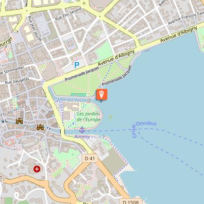
Access (by car): From Annecy, follow the N508 via Sevrier, Saint Jorioz, Duingt. Park at the Duingt church parking lot.
Topo guides and map references
Map references :
TOP 25 IGN 3431 OT
Reception complements
Whatever your hike, remember to take cereal bars, sufficient water, sunglasses, sun cream, a small first aid kit, as well as clothes adapted to your outing according to the season and the weather forecast.
Guidebook with maps/step-by-step
1/ From the "Duingt (Eglise)" signpost, head for "Le Taillefer (Le Marolais)", then continue in this direction, passing through "Duingt (Tunnel)", "Duingt (Vieux Village)", "Grotte ND du Lac" then "Crête du Taillefer".
2/ When you reach "Le Taillefer (Le Marolais)", follow the signs for "Les Maisons", then continue in this direction. You will pass through "Le Taillefer (Les Terres Noires)" and "Le Taillefer (Sur la Carrière Nord)".
3/ From Les Maisons, continue towards "Duingt par d'Héré". Continue to follow the signs from Duingt to "Bellevarde" and "D'Héré (Les Vettes)".
4/ From the "D'Héré" post, continue to follow the signs for "Duingt (Eglise)" to reach your starting point. You will pass "Mont Gerbet" and "Duingt (Tunnel)" before arriving at the Eglise de Duingt.
Animals
Yes. Pets allowed on leash only.
Data author
