Alert
Alerts
Walk in Blandy-les-Tours


Description
Built around a castle that looks as if it has come straight out of a storybook, Blandy-les-Tours is an exceptional village for lovers of historic architecture.
With its medieval castle at the heart of the village, Blandy-les-Tours has a unique heritage in Île-de-France. The origins of Blandy date back to the Gallo-Roman period. From at least the 12th century, its history has been closely linked to the Viscounts of Melun, who built an initial manor. Over the centuries, this manor evolved into a fortified castle and later a residential castle, before being converted into a farm and falling into a ruin. Now owned by the Seine-et-Marne Department, the castle has undergone excavations and major restoration work, giving it particular historical and architectural interest. Be sure to check the schedule of cultural events. Following a loop around the castle, through the old streets and along the Ancoeur river, this village walk invites you to discover both the richness of its heritage and its beautiful countryside. Restaurants, cafés, and outdoor spaces will help you enjoy a perfect day in Blandy-les-Tours.
The walk step by step…
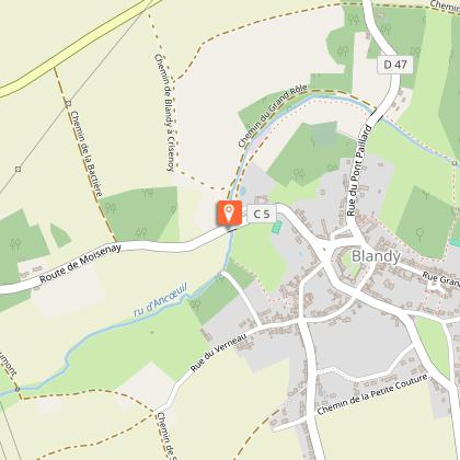
1. Make your way to Place des Tours, opposite the entrance of the castle. Take a moment to admire the castle from this viewpoint.
2. Walk towards the apple crusher located on Place du Colombier.
3. Just a few steps from the apple crusher, you can discover the church of Saint Maurice.
4. Walk along the south façade of the church towards the farmhouse.
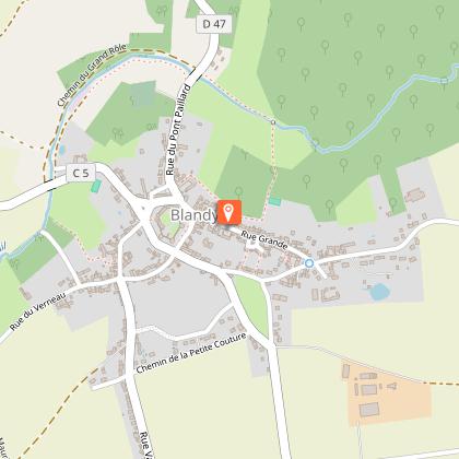
5. Take the Grande Rue, which is also known as Rue Grande, one of the oldest streets in the village. You will notice the statue of a flute player on your right in the Place du Pilori, a gift from the local sculptor Michel Lévy, and an old water pump at the entrance of the street. Admire the remarkable porch at no. 9.
6. The narrow Ruelle des Clos (on your left) leads to a path behind the houses. Turn right and follow the path into the surrounding countryside to reach the Ancœur stream.
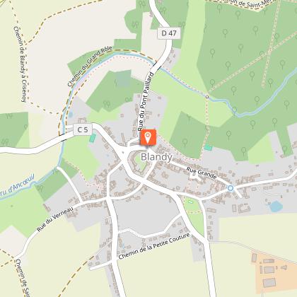
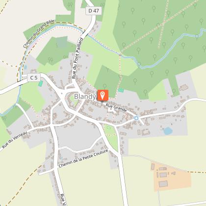
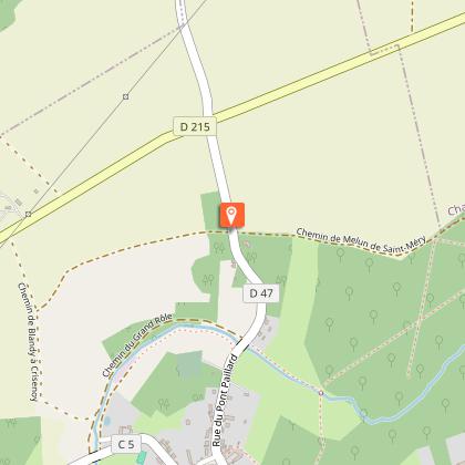
7. Turn right onto Rue du Pont Paillard (RD47).
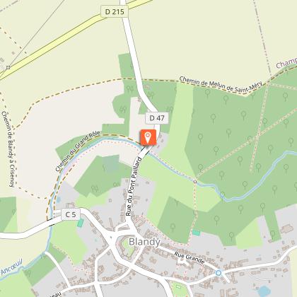
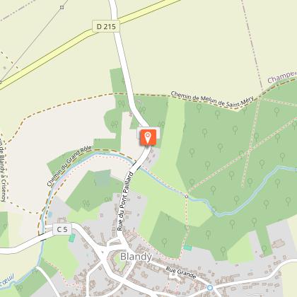
8. Just after the last house, turn right onto the rural path known as ‘la rue Creuse’. A picnic table awaits you for a countryside break.
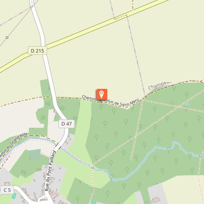
9. At the end of the path, turn left onto the Chemin de Melun de Saint-Méry. After a further 100 meters, you will have a panoramic view of Blandy-les-Tours and its castle on your left.
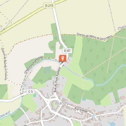
10. Continue your walk. Turn left and head back down Rue du Pont Paillard (RD47) towards the village. You will come across the Fontaine de Monferton.
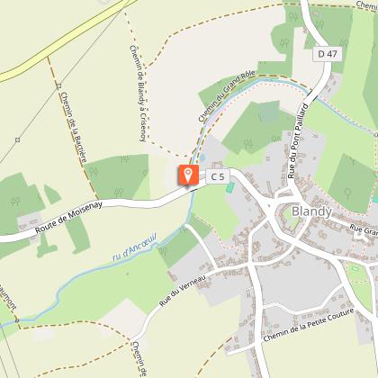
11. Turn right onto Chemin du Grand Rôle. Keep following the Ancœur stream until you reach the bridge on Rue du Moulin.
12. Turn left to cross the Moulin bridge and walk up Rue du Moulin toward the village. In the distance, you will see the bell tower of the church and the castle towers.
13. You are now back on the village’s central square, facing the castle. Turn right immediately into the Rue de la Fontaine. You can stop at the wash house.
14. Continue along Rue de la Fontaine then turn left onto Rue Raoul Kourilsky to return to the castle.
15. Turn right. You can finish your walk beautifully by visiting the castle and admiring the exceptional panoramic view from its ramparts.
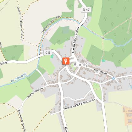
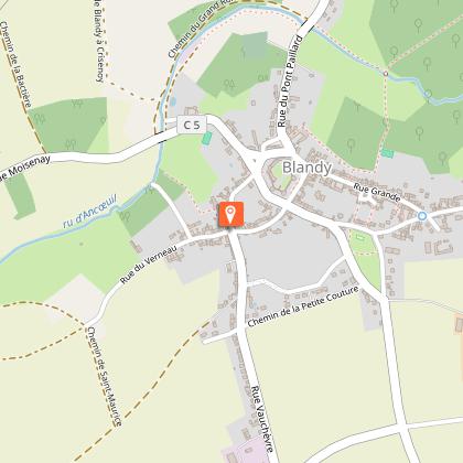
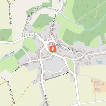
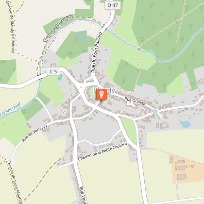
Municipality crossed : Blandy-les-Tours
Distance : 3.7 km – Duration: 1 hour 15 minutes – Unmarked trail
Access to map : www.cirkwi.com/fr/circuit/339841-balade-a-blandy-les-tours
Technical Information
Altimetric profile
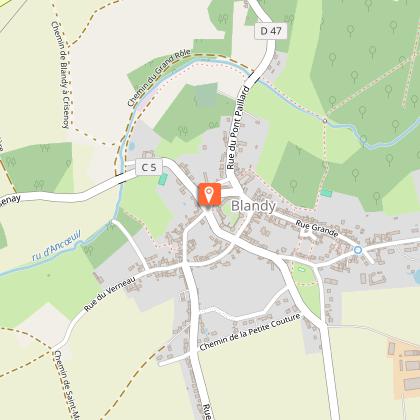
Starting point
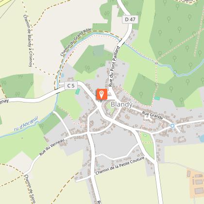
Steps
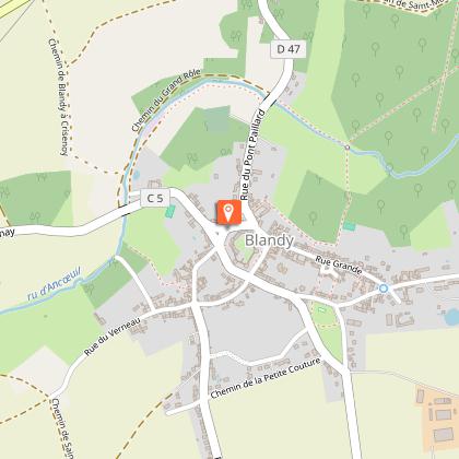
Points of interest


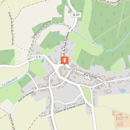
Additional information
Environments
In the country
Updated by
Communauté de Communes Brie des Rivières et Châteaux - 03/07/2026
www.briedesrivieresetchateaux.fr
Report a problem
Open period
All year round daily.
Contact
Phone : 01 60 66 90 23
Email : mairie@blandylestours.fr
Website : http://www.blandy-les-tours.fr
Facebook : https://www.facebook.com/profile.php?id=61591788591683
Reception complements
The Hiker's Charter: for responsible hiking in complete tranquillity :
1. Pack your bag, bring suitable footwear, enough water and check the weather forecast.
2. Don't stray off the beaten track, stay on the marked paths.
3. Protect natural areas and our heritage: collect all your rubbish (even biodegradable), don't make fires, don't trample or pick plants, don't approach wild animals, etc.
4. Respect the boundaries of private property: even if they are not fenced, fields are still private property and a working tool, just like certain paths and forests.
5. Keep your pets on a lead, and don't let them roam in fields (even if they don't appear to be cultivated) or near livestock farms.
6. Be careful during the hunting season (check with your local council or the Seine-et-Marne hunters' federation).
7. Where possible, remove any obstacles in your path.
8. Respect the highway code.
9. Motor vehicles are not permitted on most paths.
10. Respect the peace and quiet of the area and be discreet.
If you notice any anomalies during your walks (errors or lack of signposting, poor maintenance, illegal dumping, etc.), please notify the walking federations at sentinelles.sportsdenature.fr/.
