Alert
Alerts
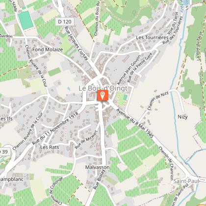
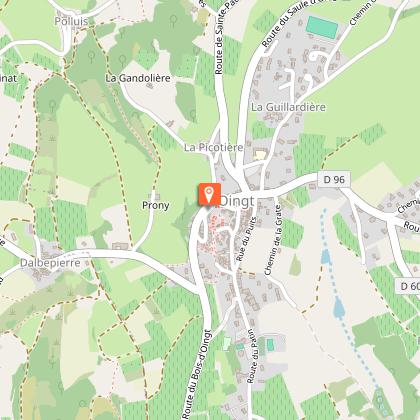
From Oingt to Col du Châtoux - Beaujolais - Oingt - Val d'Oingt
IGN cards


Description
In Oingt, a village of ochre and gold, vegetation meets minerals. From the tower or the belvederes, panoramic views of the Alps, Mont Brouilly, and the Lyonnais mountains open up, offering a journey to the heart of the emblematic landscapes of golden stones.
You'll love:
• Oingt, colored with ochre and gold.
• The perfect blend of vegetation and minerals.
• The panoramas: from Saule d'Oingt facing the Alps, from Château de Montmelas and Mont Brouilly. Between Crêt de la Garde and Les Avenières: to the east of the chapel of Mont Joly in Saint-Laurent-d'Oingt, the villages of Oingt and Bois d'Oingt, to the west, the Lyonnais mountains.
From the top of the Oingt tower, a clear 360° horizon.
• The welcoming spirit of the winemakers to accompany tastings of Beaujolais des pierres dorées.
You'll enjoy it best:
• By admiring the landscape's nuances. In May, meadows are covered with orchids between La Guillardière and Crêt de Remont. • By coming to walk during Oingt's major festivities: the Barrel Organ Festival in early September and Oingt's nativity scenes throughout December at Epiphany.
• By lingering in the gentle countryside at the bottom of the Vervuis Valley.
• Beware of the steep descent after the Sainte-Paule Le Cimetière intersection.
* The orchids are protected; do not pick them.
A bit of history:
Oingt and its surroundings
Throughout the trail, the environment varies without interrupting the harmony between plant and mineral. The turbulent geology of Beaujolais, which has stirred the soil, partly explains the diversity of the environments.
At Saule d'Oingt, the vines disappear, giving way to pastures and moors, with boxwood framing the path. Between late May and early June, orchids grow among the grasses. Then, towards Le Châtoux, the forests take over, and houses built from dark rocks with green highlights evoke the mountains.
After Les Sapins, the vineyards reappear, overlapping with pastoral activity. At Croix du Maury, pinkish walls raised by a row of vertical stones prevent goats from escaping. Old mine shafts also bear witness to the past mining of coal delivered as far away as Saint-Étienne in the Loire.
The hike ends in Oingt, which has retained its appearance of a medieval fortified village. The Nizy Gate, the old castle chapel, and a keep tower still stand as testaments.
Technical Information
Altimetric profile
Starting point
Points of interest
Additional information
Environments
Village centre
View over the vineyards
Panoramic view
Updated by
Rhône Tourisme - 24/11/2025
www.rhonetourisme.com
Report a problem
Open period
All year round daily.
Subject to favorable weather.
Contact
Phone : 04 74 07 27 40
Email : contact@beaujolais-tourisme.com
Website :
https://out.ac/LCXGT
https://www.rhone-outdoor.com/fr/
Facebook : https://www.facebook.com/DestinationBeaujolais/
Type of land
Ground
Hard coating (tar, cement, flooring)
Data author
