Alert
Alerts
Lemovices or Arvernes - circuit 2

Description
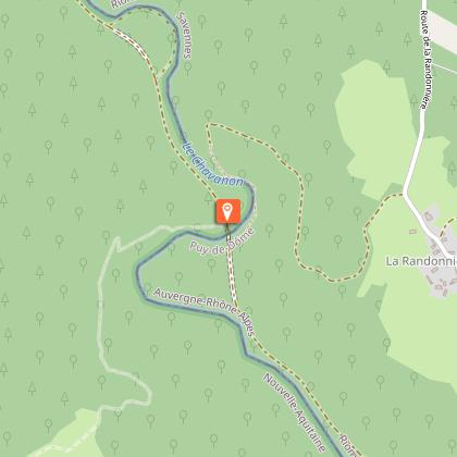
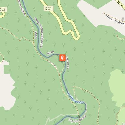
Stories of railways, natural boundaries, administrative boundaries, and therefore of the link between people...Departure from the esplanade on the edge of the departmental road. Head off towards the church; go past the front of the building, and before the café, turn left into the Chemin des Tilleuls.Find the road and follow it to the right. Go straight on at the next crossroads. Follow the signage carefully on this section: ignore a path to the right and then another to the left. The path becomes a trail and starts to descend. At the crossroads, fork left: the path winds down to the Chavanon.Continue to the left, over a small footbridge. Continue for 200 m. At the crossroads, go straight on (to the right, off the circuit, is the railway bridge), you will recognise the old trackbed. Continue; just before a tunnel, turn right onto a path that leads down to the Chavanon and then back to the other tunnel entrance.Continue for 300 m, then fork left (go straight on for circuit III): a path winds up to reach the plateau. Continue along a grassy path to Loubatière. Follow the road to the right. Go straight ahead to reach the D 27 through the village of Froides Maisons.Follow the departmental road to the left for 200 m, then take a path to the right through a wood, alongside a meadow and into the woodland undergrowth.At the end of the trail, follow the earth path to the left. Turn right after the tree-felling area. Continue straight ahead to return to the starting point
Technical Information
Altimetric profile
Starting point
Steps

Additional information
Advised parking
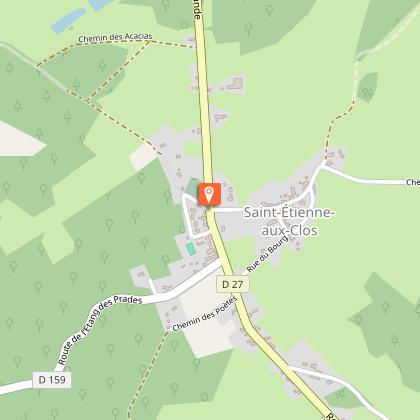
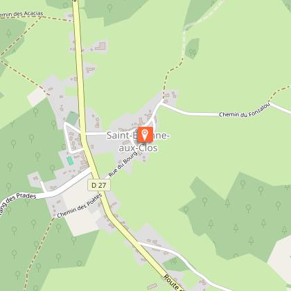
Bourg, St-Etienne aux Clos
Advice
Please note: This circuit is a shorter version of a longer circuit (12 km) which is the subject of a special description sheet.Please note: This circuit is a shorter version of a longer circuit (12 km) which is the subject of a special description sheet.
Access
Coming from Ussel, follow the RD 1089 towards Clermont-Fd. Fork right and take the D 27 towards St-Etienneaux Clos
Ambiance
This is a very special valley... The fauna, the flora and the climate here are rather Auvergne-like, as is the architecture; The former railway line ran from one bank of the Chavanon to the other, following the contours of the land, linking the Auvergne to Paris via the Limousin. We are at the border of the two regions, drawn here by the Chavanon, which meant "the excavator" in old French.
Arrival
Bourg, St-Etienne aux Clos
Departure
Bourg, St-Etienne aux Clos
Data author
