Alert
Alerts
Lemovices or Arvernes - circuit 1

Description
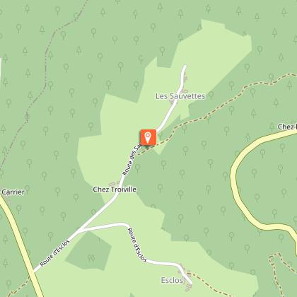
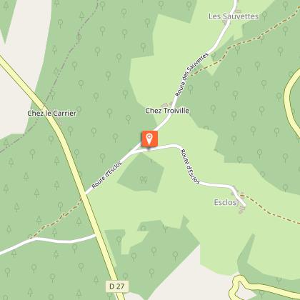
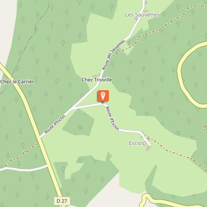
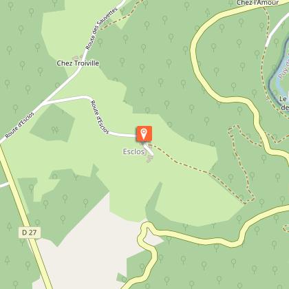
Stories of railways, natural boundaries, administrative boundaries, and therefore of the link between people...Set off on the opposite side of the road on the old trackbed.Before the last ""SNCF level crossing"" house, go up the path on the right. Cross the road when you get to the village of ""Chez L'Amour"" and continue along the trail. It joins a path that you take on the left. It climbs in a wide loop, leaving small trails on the right and left.At the road, turn left, and go through the village of Chez Troiville. At the next crossroads, turn left towards Esclaux (circuit III goes straight on).In the village, follow the trail on the left, which runs alongside the house, continues through the meadows, and then twists and turns down into the wood. Stay on the main path; At the road, the path ahead goes slightly off to the left; stay on the main path again to find the old track bed at the end of the valley. Turn left to get back to the starting point."
Technical Information
Altimetric profile
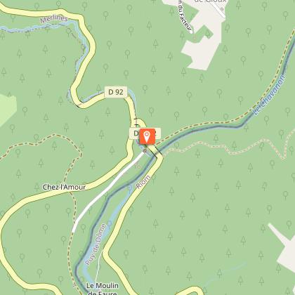
Starting point
Steps


Additional information
Advised parking
The former Savennes station, St-Etienne aux Clos
Advice
Please note that the route does not start from the village of St-Etienne aux Clos but from the old station at the bottom of the valley. It is a variant of two longer trails that start from the village and are the subject of a specific description. One section is shared with circuit III.
Access
Coming from Ussel, follow the RD 1089 towards Clermont-Fd. Fork right and take the D 27 towards St-Etienne. Continue for 5 km and then turn right towards Savenne station.
Ambiance
This is a very special valley... The fauna, the flora and the climate here are rather Auvergne-like, as is the architecture; The former railway line ran from one bank of the Chavanon to the other, following the contours of the land, linking the Auvergne to Paris via the Limousin. We are at the border of the two regions, drawn here by the Chavanon, which meant "the excavator" in old French.
Arrival
The former Savennes station, St-Etienne aux Clos
Departure
The former Savennes station, St-Etienne aux Clos
Data author
