Alert
Alerts
Lemovices or Arvernes

Description
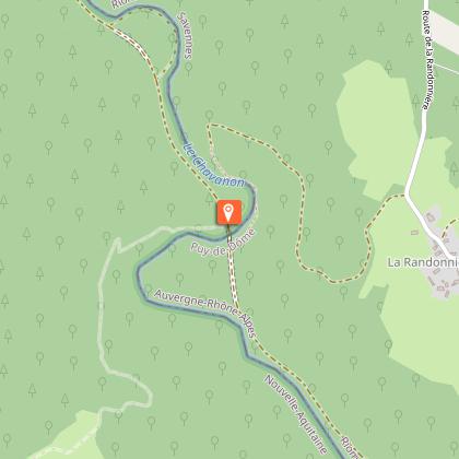
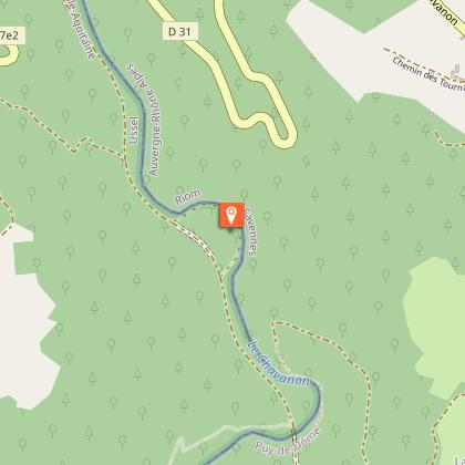
Stories of railways, natural boundaries, administrative boundaries, and therefore of the link between people...Find the road and follow it to the right. Go straight on at the next crossroads. Follow the signage carefully on this section: ignore a path to the right and then another to the left. The path becomes a trail and starts to descend. At the crossroads, fork left: the path winds down to the Chavanon.Continue to the left, over a small footbridge. Continue for 200 m. At the crossroads, go straight on (to the right, off the circuit, is the railway bridge), you will recognise the old trackbed. Continue; just before a tunnel, turn right onto a path that leads down to the Chavanon and then back to the other tunnel entrance.Continue, leaving the circuit 2 trail on the leftAfter the last house with its SNCF architecture, go up the path on the left. Cross the road at the village of Chez L'Amour and continue on the trail. This trail joins a path that you take on the left. It climbs in a wide loop, leaving small trails on the right and left.At the road, turn left, and pass through the village of Troiville. Ignore the road to Esclaux on the left. At the departmental road, cross over, and take the path opposite. Turn right onto the road.At the next village, leave the road and descend to the Dognon. Cross on the footbridge; go back towards the track and follow it to the left. Turn left at the next junction and then right at the Y-junction. The track becomes a road. It joins a larger road which you follow to the left for 300 m.Follow the track to the left, cross the Dognon again. Continue straight on up into the wood for some time.Turn right after the tree-felling area. Continue straight ahead to return to the starting point
Technical Information
Altimetric profile
Starting point
Steps
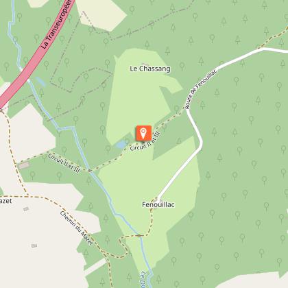
Points of interest


Additional information
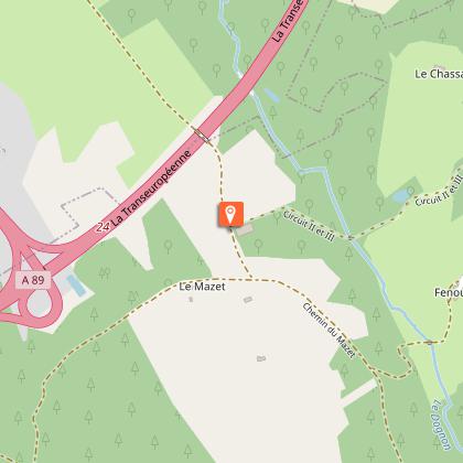
Advised parking
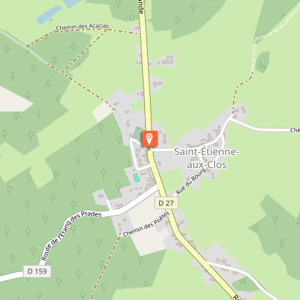
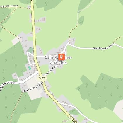
Bourg, St-Etienne aux Clos
Advice
Please note that this circuit has a shorter cut (circuit II) and is adjacent to another loop that starts at the old station at the bottom of the valley (circuit I). These itineraries are described in a separate sheet.
Access
Coming from Ussel, follow the RD 1089 towards Clermont-Fd. Fork right and take the D 27 towards St-Etienneaux Clos.
Ambiance
This is a very special valley... The fauna, the flora and the climate here are rather Auvergne-like, as is the architecture; The former railway line ran from one bank of the Chavanon to the other, following the contours of the land, linking the Auvergne to Paris via the Limousin. We are at the border of the two regions, drawn here by the Chavanon, which meant "the excavator" in old French.
Arrival
Bourg, St-Etienne aux Clos
Departure
Bourg, St-Etienne aux Clos
Data author
