Alert
Alerts
La Bujada

Description
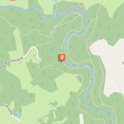
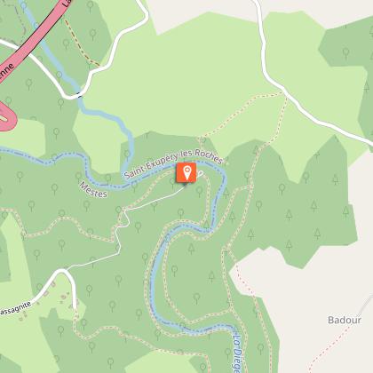
The name of this route, "La Bujada", which means "laundry" in Occitan, comes from the spring-washhouse complex in the village of Le Mas.Leave the church behind you and go right towards Le Mas.In the village, at the cross, take a path to the right (the communal washhouse is shortly after on your right at the edge of the path). When you reach the road, turn right and then left onto the track leading up to the shed. This track becomes a path.At the road, turn right to reach La Chassagnite. Take the path on the right after the first house and then the path on the left; cross the courtyard of the house and then take the road to the right. It descends and becomes a path that runs alongside the meadows. At the entrance to the wood, take the path on the right; join the banks of the Diège before the stream.Turn left onto the path that runs alongside the river for several hundred metres until you reach the car park on the banks of the Diège.Turn left up the track that runs alongside the activity centre and treetop trail. At the car park, turn right to go up towards L a Chassagnite. Go through the village and follow the same route you took on the way out: follow the road for 400 m, then take the trail on the left. At Le Mas, turn right and then left in the village to return to the start.
Technical Information
Altimetric profile
Starting point
Steps
Points of interest


Additional information
Advised parking
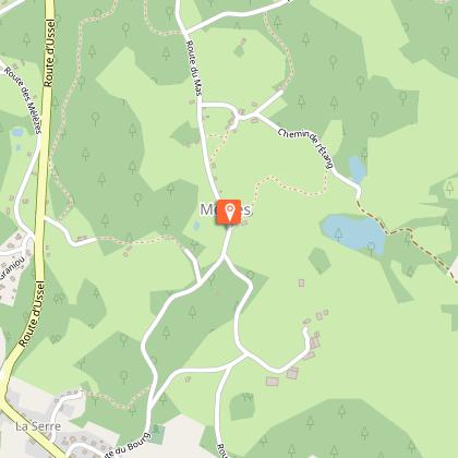
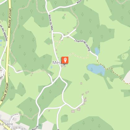
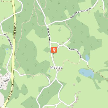
Church, Mestes
Access
From Ussel, follow the D982 towards Neuvic for 5 km. Towards the end of the climb, turn left towards the activity centre. Turn right at the crossroads. After 600 m, turn left at the church.
Ambiance
This short hike starts from the church of Mestes and goes down to the Diège; it is a beautiful path through the woodland undergrowth on the river's edge. The more athletic can take a break at the activity centre before heading back up to the plateau.
Arrival
Church, Mestes
Departure
Church, Mestes
