Changing landscapes (shortened version)
Description
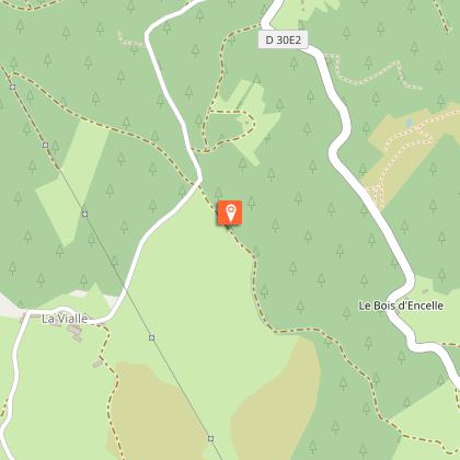
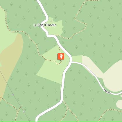
Photograph this landscape now; tomorrow, it will be different...Depart from the Lestrade chapel. In front of the start sign, go right (left for the large circuit).100 metres after the exit from the village, turn right on a path that goes uphill: ignore a path on the right and two paths on the left to return to the road. Follow it to the left for 50 metres.At the top, take the path on the left, which goes on and then down to the road. Follow it to the left for 150 metres.Fork right on the path that goes down between meadows and woods. Follow it for 1.5 km.At the track, turn left: this track goes up to Lestrade.After the first houses, take the road on the left to find the starting point again.
Technical informations
6.1 km
|
max. 909 m
min. 740 m
| |||
Altimetric profile
Starting point
Steps
Mont Bessou
Au loin, facilement identifiable grâce à ses antennes de diffusion de télévision et téléphonie, se dresse le Mont Bessou. Du haut de ses 976 mètres, c’est le point culminant du Limousin. Au retour de votre balade, faites un crochet pour découvrir un magnifique point de vue sur les Monts d’Auvergne du haut de sa tour panoramique.
Monts du Cantal
Autre massif auvergnat avec le Sancy et la chaîne des Puys, les Monts du Cantal se présentent à vous au cours de cette randonnée. Ce massif est en fait le vestige d’un stratovolcan né il y a 13 millions d’années, le plus grand d’Europe, démantelé par des phénomènes d’effondrement et d’érosion glaciaire.
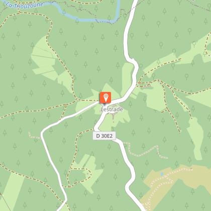
Lestrade
Les villages de la Haute-Corrèze avaient tous une vocation agricole. La traversée de ces hameaux constitue toujours un moment de découverte unique lors d’une randonnée : granges, maisons de maître, croix, petit patrimoine... A Lestrade, ne manquez la chapelle, le four à pain, les murets de pierre sèche…
Points of interest
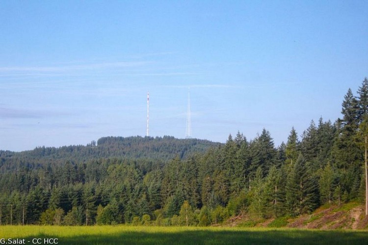
Mont Bessou
In the distance, easily identifiable thanks to its television and telephone broadcasting antenna, stands Mont Bessou. At 976 metres, it is the highest point in Limousin. When you return from your walk, make a detour to discover a magnificent viewpoint overlooking the Monts d'Auvergne from the top of its panoramic tower.
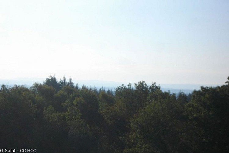
Monts du Cantal
Another Auvergne massif like the Sancy, you will see the Monts du Cantal during this hike. This massif is, in fact, the remnant of a stratovolcano formed 13 million years ago, the largest in Europe, eroded by collapse and glacial erosion.
Additional information
Advised parking
Car park at the Chapel of Lestrade, Meymac
Advice
Ce circuit comporte une boucle plus longue (13 km) qui fait l’objet d’une fiche descriptive. Le départ ne se fait pas du bourg de Meymac mais du village de Lestrade situé à 7 km du bourg.
Access
From Meymac, follow the D30 towards Sornac. 1 km after leaving the village, turn left to take the D 30E2 towards Lestrade.
Ambiance
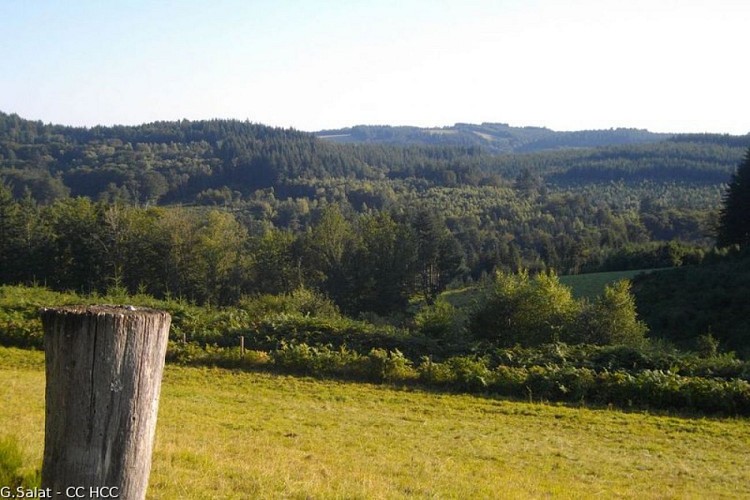
Welcome to one of the world's largest theatres, where nature and mankind are constantly creating new sets. Observe the role and importance of each of their elements, and memorise them, because when you come back, the scene will have already changed: woods cut, barns restored...
Arrival
Car park at the Chapel of Lestrade, Meymac
Departure
Car park at the Chapel of Lestrade, Meymac
