Alert
Alerts
From Pont-Aubert to Rochers Noirs

Description
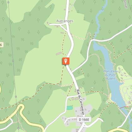
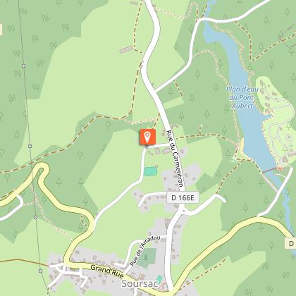
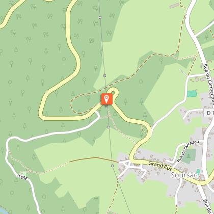
Imagine seeing the Haute-Corrèze by tramway along the Transcorrézien routePark at the tourist information officeGo to the main street and follow it to the left. Pass in front of the town hall. At the crossroads at the exit of the town, go towards Neuvic then turn left towards St-Pantaleon.Turn right onto the tarmac path before the water tower. At the bottom of the descent, continue straight ahead in the woodland undergrowth. Go to the right around the pond and cross the dike. Go up to the left on the trail along the edge of the pond that passes below the gîtes. You come to a small footbridge. Proceed.At the end of the pond, go up towards the car park. Continue to the left along the road. Cross the stream. 50 m later, turn right onto the rising grassy path.Take the road to the right and then towards "houses from 1 to 17". 10 m further on, take the path immediately on the left. At the next crossroads, turn left at the stable to return towards the road. Follow it to the right, pass the locomotive and continue on the road. Go through La Croix Neuve.Turn right towards the sports hall, then right on the path after the hall. Go left after the chalet. The path becomes a trail and joins a pathway that you follow to the left. Turn left at the next crossroads. Follow this pathway for 1 km: this is the old Tacot tramway track.Cross the road and the esplanade. Leave a path on the right that goes towards the viaduct and go up the grassy path. Go on alongside the water treatment plant to a road that you follow on the right.Before the church, take the rue du Viaduc on the right, which descends, becomes a path and then a trail. At Jardin de Firmin, there are two possibilities: the path on the right overlooks the site or, off the circuit, go down into the garden.Follow the road to the left. Go through a tunnel. Enter the second tunnel, which leads to the viaduct. Turn around, pass through the 2 tunnels. 100 m after the last one, go up to the right by a steep path which leads to the village.Follow the path to the right that leads to Soursac, then go around the church to the right and turn right at the D 16.
Technical Information
Altimetric profile
Starting point
Steps


Points of interest

Additional information
Advised parking
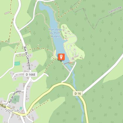
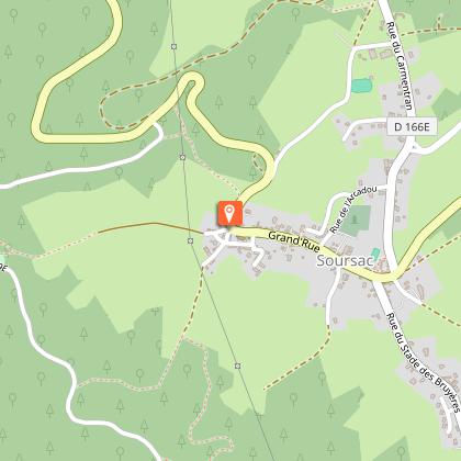
Tourist information office car park, Soursac
Advice
Joint departure with the "Beyond the Water" trail. Follow the signs carefully as you leave the village.
Access
40 km from Meymac, follow the D 181 and D 166.
Ambiance
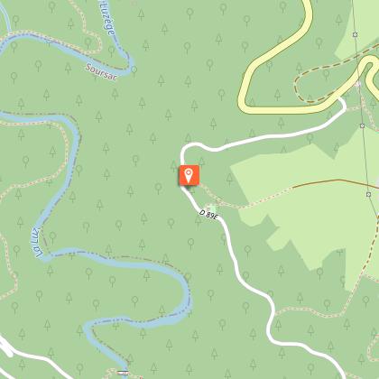
You will discover the natural heritage of Soursac as you go to the Pont-Aubert lake. After passing the old station, you will follow the Tacot track. You will visit Firmin's garden and his hut, which offers a breathtaking view of the Luzège Valley, and you will reach the Rochers Noirs viaduct, built between 1911 and 1913 and today classified as a historical monument.
Arrival
Tourist information office car park, Soursac
Departure
Tourist information office car park, Soursac
Data author
