Alert
Alerts
The Templars (shorter route)

Description
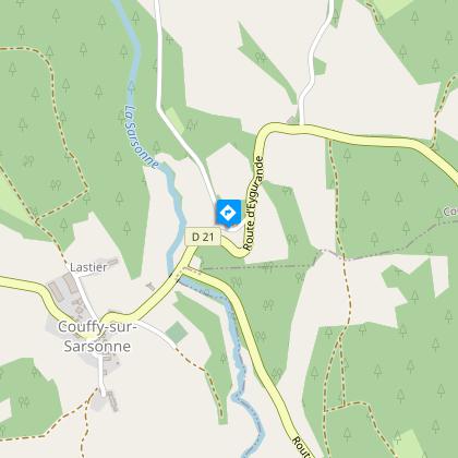
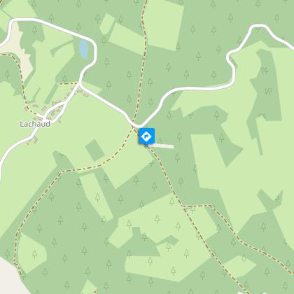
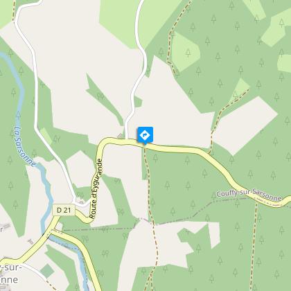
Between meadows and forests, this is a country walk through varied landscapes.Departure from the town hall in Couffy. Go up to the D21 and turn left for 400 m.Follow the track to the left that leads to Lachaud. In the village, take the road on the right. Turn right again at the rest area. Before a bend in the road, take the earth path straight ahead.At a crossroads, go straight on (go left for the complete loop) to reach Mansouneix.Cross the road and continue on the road that descends. At the building before the river, turn left; continue straight on this path until you reach a T-junction. Leave the circuit for the church at Courteix : (1.5 km round trip): Turn left and go through La Chabanne. Turn left at the crossroads to get to Courteix.Take the path to the right. At the next two Y junctions, turn left. When you reach a beech forest, turn right to join the road, which you follow to the left for 500 m to return to the departure point.
Technical Information
Altimetric profile
Starting point
Steps

Additional information
Advised parking
Parking at the town hall, Couffy
Advice
This path consists of a large circuit that you can join either at Courteix or at Couffy, making a round trip. There is also a shorter route for this long circuit, which is described in detail in a separate sheet.
Access
The departure point is 12 km from Eygurande: follow the D21 towards Couffy. The town hall is 1 km on the left before the village.
Ambiance
The region was marked by the presence of the Templars (Templar tombs in the church at Courteix) and by the Seigneury of Châteauvert (medieval tomb in the church at Couffy). This route offers a succession of open views over the Plateau de Millevaches and the Monts d'Auvergne, passages through woodland undergrowth and the chance to go through typical Haute-Corrèze villages. There are two possible starting points, the church in Courteix or the town hall in Couffy-sur-Sarsonne, from which the main circuit can be reached, taking you on a round trip.
Arrival
Parking on the church square, Couffy
Departure
Parking on the church square, Couffy
