Alert
Alerts
History and Heritage Trail - East Variant


Description
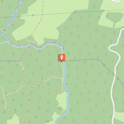
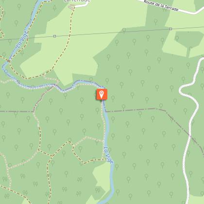
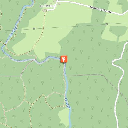
This trail invites you to discover the western part of the Creuse Sud-Ouest territory, which is full of hidden treasures.Turn right on the D 94 towards Sauviat-sur-Vige for 500 m before turning right onto an agricultural path. The trail turns left and then continues straight ahead until you reach the farm of La Martine. Pass behind these buildings and continue on the path to the right until you reach the road.Take the road opposite, follow it straight ahead, pass Pontauty and then take the road on the right towards Le Monteil. Take the first road on the right that goes around Le Monteil, follow it for 300 m, then take the path on the left, the gateway to the site of the forest of Epagne. Go straight ahead, leave a track on the left and paths on the right to reach a wide crossroads.Take the path at the bottom and go right up to the river, the Vige. Follow the river on the left until you reach the wooden footbridge, cross it, then continue on the upward path.At the top of the hill, turn right and continue until you reach the village of La Terrade.At La Terrade, go through the farmyard and return to the road on the right. At the last farm, turn left between the buildings, pass the new house and continue to the path to the Pierre Billard road. Turn right, then, 50 m further down the road, take the first path on the left. Follow it until you reach the road to the left. Before the Chez Lord bridge, take the road on the right which runs alongside a large house and its pond towards the mill. Before reaching this building, turn right on the path that leads to the village of Moulin-Jeune via the woods.At Moulin-Jeune, go between houses to reach the main road again, follow it on the left for 200 m and then take the first path on the left, surrounded by meadows. Continue straight ahead.To return to Le Nouhaud, go as far as the road to La Besse, and turn right to go through the village. At the bottom of this road, follow the road on the left for 500 m. At the crossroads, take the path opposite that borders the meadow to reach the Bois du Nouhaud. Just before the next crossroads, make a short round trip of about a hundred metres to discover the milestone. At the intersection, take the path opposite that leads to Le Nouhaud.
Technical Information
Altimetric profile
Starting point
Steps
Points of interest


Additional information
Advised parking
Parking on Route D941, Le Nouhaud
Advice
Of medium difficulty, this trail is intended for all those who are a bit sporty. Be careful in the forest of Epagne to respect the specific mountain bike itinerary.
Access
14 km from Bourganeuf, follow the D941.
Ambiance
A half-day trip for you to discover prehistoric, Gallo-Roman and medieval remains, and buildings from modern and contemporary times, as well as a remarkable natural and landscape heritage.
Arrival
Parking on Route D941, Le Nouhaud
Departure
Parking on Route D941, Le Nouhaud
