Alert
Alerts
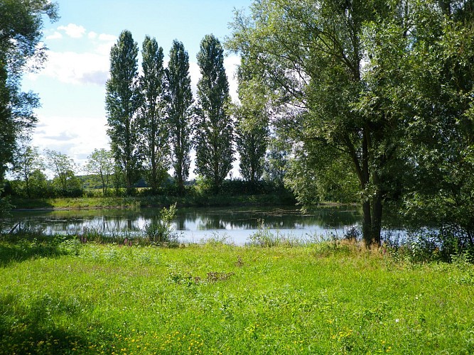
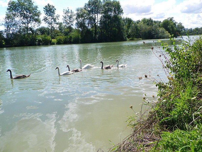
The large pond of Neuvry


The Cirkwi brief
Embarking on this journey between Bray-sur-Seine and Grisy-sur-Seine feels like stepping into a world where time moves at the gentle pace of the river Seine itself. Winding through fields, past serene ponds, and following the ancient towpaths, this itinerary crafted by the Communauté de communes Bassée-Montois unfurls the region's tranquil beauty. It's a walk that promises not just a physical journey but an immersive experience into the calm and picturesque French countryside, ending charmingly in the quaint alleys of Bray-sur-Seine.
Technical Insights on Footpath Exploration
This marked route spans a distance of approximately 16.7 kilometers, navigating through a minimal elevation range between 54 to 60 meters with an even 154 meters of positive and negative elevation change. Engineered for walking enthusiasts, the path presents an inviting challenge for a day's trek, offering both accessibility and a moderate physical demand. This balance makes it an appealing choice for those looking to delve into outdoor activities while experiencing the scenic landscapes of France.
Seasonal Tips for Travelers
Regardless of the season, the Bray-sur-Seine to Grisy-sur-Seine loop beckons with unique charms. Spring and autumn adorn the route with vibrant colors, perfect for photography. During summer, early mornings or late afternoons are advisable to avoid the midday heat. In winter, the paths can be slippery, urging caution. Always check weather forecasts before departure and remember, the old towpaths near the water might be flooded after heavy rains. Adequate preparation ensures a safe and enjoyable journey through this picturesque French locale.
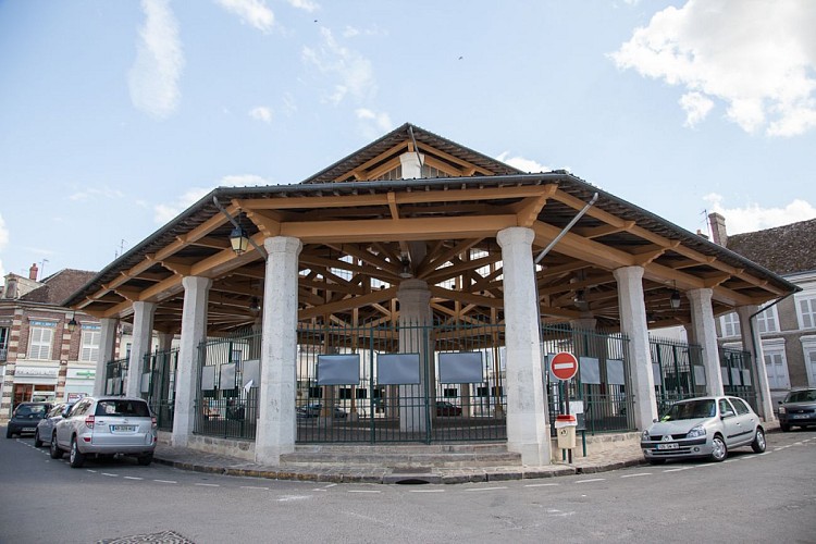
Historical Echoes of Bray-sur-Seine
Bray-sur-Seine, nestled in the heart of the Seine-et-Marne department within the broader Île-de-France region, boasts a rich tapestry of history and culture. This area, straddling the serene banks of the Seine River, has been a pivotal crossroad since Roman times, offering a glimpse into France’s layered past through its architecture and the ancient halage paths now repurposed for leisurely walks. Delving into this route is akin to traversing a living museum, chronicling the symbiosis between man, river, and the fertile Bassée plain.
Seasonal Climate Overview for Visitors
The climate in Bray-sur-Seine features distinct seasons, conducive to year-round exploration. Spring and autumn present mild temperatures, ideal for comfortable walking conditions. Summer, characterized by warmer weather, highlights the lush beauty of the region, albeit with occasional rain spells. Winters are cold but rarely harsh, offering crisp air and sometimes a dusting of snow, transforming the landscape. The best visiting periods are late spring and early autumn when the weather is most favorable for experiencing the full splendor of the route.