Alert
Alerts
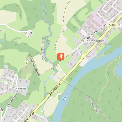
Circuit de l'Ain au Plateau at Villette-sur-Ain
1 alert on this circuit
Alerte visiteurs
Balisage défectueux, incidents / sécurité, conflits d'usage, dépôts sauvages ? : localisez et partagez le problème rencontré sur le dispositif d'alerte national depuis l'appli SURICATE ou via le site sentinelles.sportsdenature.fr/
Description
A slightly uneven walk as you climb up to the Dombes plateau, which offers a variety of landscapes, from undergrowth to stream banks. The Dombes heritage is revealed: La Moutonnière, the Moulin de Faux and the Château de Richemont.
Close to the ViaRhôna and the Voie Bleue, the Dombes is also a great area for cycling, walking and horse-riding! It's up to you to choose your itinerary and means of transport...
Breathe in, breathe out, you're in the Dombes.
Imagine the Dombes, land of a thousand ponds, as a festival of colors, scents and sounds. The deep blue of the water contrasts with the many greens of the vegetation. The intermittent concert of frogs is accompanied by the songs of wild birds. Sit back for a moment and watch the ballets on the calm waters of the ponds. The grey heron, master of the area, may even grace you with its presence!
So, what could be better than a stroll to visit and discover the Dombes in slow motion?
Technical Information
Altimetric profile
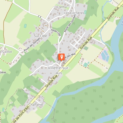
Starting point
Steps
Points of interest


Additional information
Updated by
Dombes Tourisme - 04/06/2026
www.dombes-tourisme.com/fr/
Report a problem
Contact
Phone : 04 74 55 02 27
Email : contact@dombes-tourisme.com
Website : http://www.dombes-tourisme.com/fr/
Open period
All year round daily.
Environments
In the country
Guidebook with maps/step-by-step
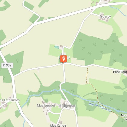
The starting point is the church square in Villette-sur-Ain. Parking is also available next to the town hall.
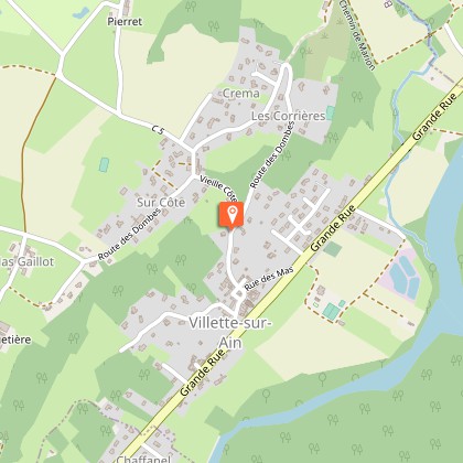
1. Follow the Dombes road to the intersection, then turn left towards Sur Côte.
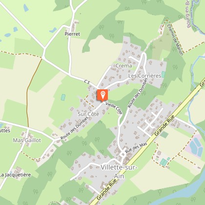
At the Sur Côte signpost, follow the signs for Le Gaillot, then continue left onto Rue Chez les Mathieu.
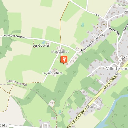
2. When you reach the farm, turn right and continue to the Le Gaillot signpost. Turn right again towards Terre Froide. At the crossroads after the hamlet, continue straight ahead, and at the next intersection, take the dirt track on the left.
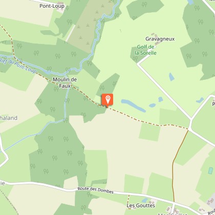
3. At the Terre Froide signpost, continue straight ahead towards Moulin de Fau. The dirt track becomes a footpath which, in heavy rain, can be very muddy. Pass by the Moulin de Fau and cross a stream.
Continue between two fields where the path and trail markers may be difficult to see. Once back on a dirt track, turn left.
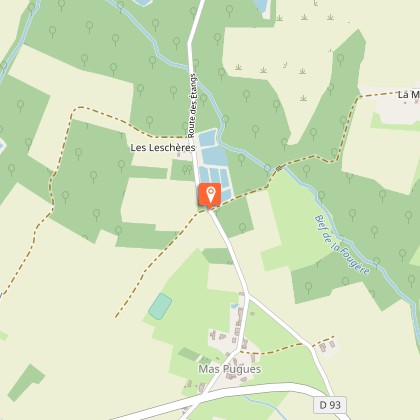
4. At the Le Lent signpost, turn right and follow the path. Cross the D93 departmental road and continue straight ahead to the fish ponds. Take the path on the right, towards La Moutonnière, go through a wood and cross a stream. Follow this path to the Domaine de la Moutonnière.
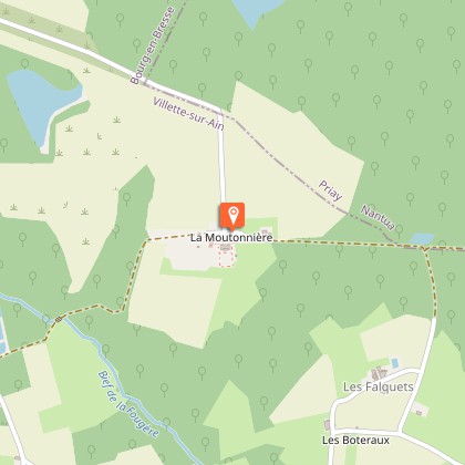
5. At the La Moutonnière signpost, continue straight ahead towards Le Grand Pont. Continue straight ahead to a pond on the left, then continue straight ahead along the path into the woods.
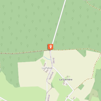
6. At the edge of the woods, turn right to the La Palud signpost and follow the signs for Les Barrières.
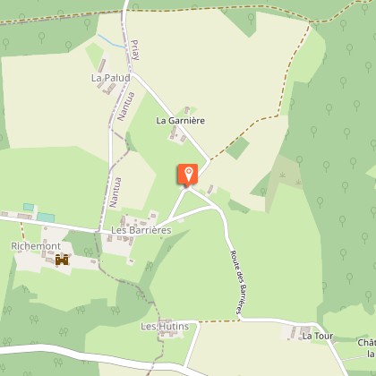
7. At the Les Barrières signpost, turn right, towards Pré Millet.
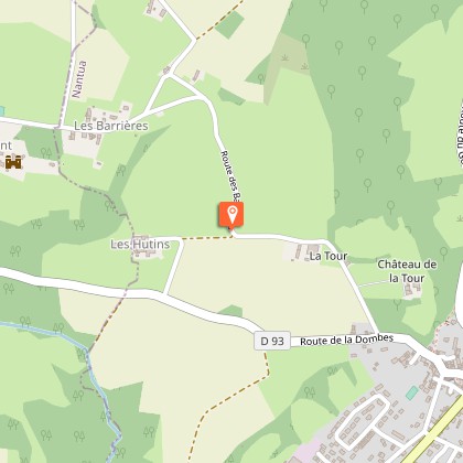
8. Then turn left onto Chemin des Barrières and continue until you reach the road. Pass the Ferme de la Tour on the right and then the château of the same name. Emerge onto the D93 and turn right for approximately 300 meters.
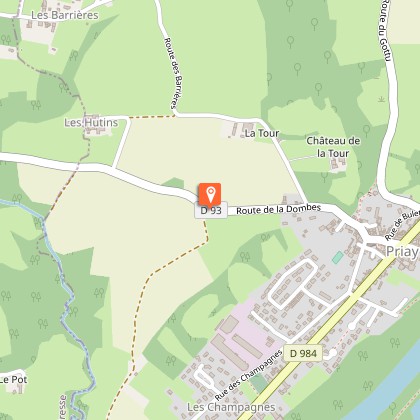
9. At the Pré Millet signpost, take the dirt track towards Le Grand Pont. Follow this track, then the footpath, until you reach a road.
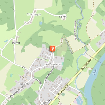
10. At the Le Grand Pont signpost, turn right towards Villette-sur-Ain. Follow this path, then at the hamlet of Les Corrières, take the uphill road. Descend to the village via the Dombes road.
Caution: crossing a stream and a short section on the departmental road (300 meters).
Data author
