Alert

Alerts

To see around
See more
Open
Close
Show
Show
Show
Show
Show
Show
Show
Show
Show
Show
Show

Oups... It would appear that Cirkwi does not have permission to use your location.

Presentation
Description
Map
Points of interest
Ratings and reviews
See around

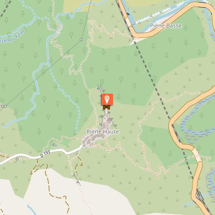
Hiking from Piedne Haute to Sospel

Description

Nice walk along the GR510 to reach Sospel.
We recommend you hike from Breil to Piène Haute, then continue to Sospel (7h30 total).

Depart from Piene Haute via the D193 westward then descend via a stony chelin via the GR 510 (tag 440).

After the Saint Jérôme chapel, the path narrows along olive groves. Leave the cultivated lands and while remaining vaguely on the crest, join the D93 (markers 441 and 442) about thirty meters from the Italian border.

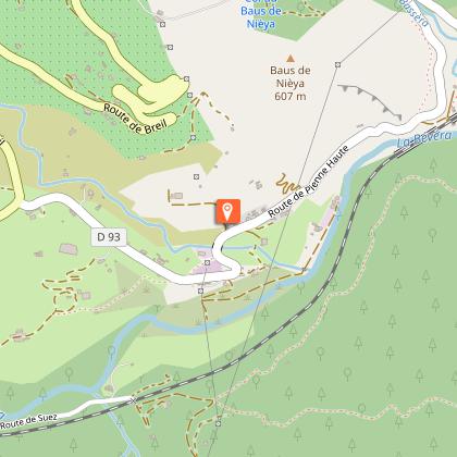
Follow the road for 300m and take a descending steep path that avoids a bend.

Another 100m of tar, then take on the right (tag 443) a path which winds in a ledge above the Bévéra and which is equipped with a botanical path through the town of Sospel. We soon reach the Caï bridge over which the Nice-Cuneo railway line crossed. Go under the bridge, cross the valley of Basséra and go up to the other end of the Pont de Caï.

From the bridge, take a dirt road that climbs to the right and join the D93 which you take to the bridge over the Nieya stream where you enter a shaded path that avoids a wide bend in the road. This path then heads towards the farm of Saint Gervais where it crosses the buildings while widening. It continues in the form of a dirt road which is covered with tar as it approaches the D2204. Take this route to Sospel.

Technical Information

Walking
Difficulty
Medium
Dist.
9.1 km
Show more

Altimetric profile

Starting point

06540   Breil-sur-Roya
Lat : 43.902225Lng : 7.515431

Points of interest

image du object

Piène Haute hamlet

The hamlet of Piène Haute has 60 inhabitants in the winter and 150 in the summer.The ruins of the old castle testify to its age. Its name «Piène Haute» has sparked many debates during this long history. Primitively “Penna” and then “Penna Alta” (some translate «Piène Haute») it has turned into «Piena» not to confuse it with another «Penna», located in Abruzzo. The name of Piène Haute was definitively retained in 1947 when it came to France. The hamlet of Piène-Haute (600 m altitude) is relatively isolated due to its original military location (a medieval Genoese stronghold). Access by road was only created after the village became part of France. The village overlooks the Roya on a 200m-high cliff, with a very wide view of the Mercantour peaks and the sea. The village as a whole is spectacular, both for its linear layout and for the well-preserved homogeneity of its appearance. The church of Saint-Marc, a Historic Monument, features Baroque Ligurian decoration from the early 18th century. The Chapel of the White Penitents (Monuments Historiques) has preserved its neo-Gothic decor from the late 19th century. The small houses in the hamlet, like the roads, are carefully maintained and planted with flowers by the locals, who maintain a pleasant overall unity. Château de Piène-Haute (private) is a former Genoese stronghold of medieval origin (11th-17th centuries), built on a rocky ridge at the end of the hamlet, overlooking the Roya.

- Menton, Riviera & Merveilles -
Consulter

Additional information

Updated by

Office de Tourisme Menton, Riviera & Merveilles - 12/06/2025
www.menton-riviera-merveilles.fr/boutique/
Report a problem

Open period

All year round.

Type of land

Stone
Ground
Not suitable for strollers

Ratings and reviews

To see around
See more
Open
Close
Show
Show
Show
Show
Show
Show
Show
Show
Show
Show
Show
Caution!
We have no information on the difficulty of this circuit. You may encounter some surprises along the way. Before you go, please feel free to inquire more and take all necessary precautions. Have a good trip! 🌳🥾