Alert
Alerts
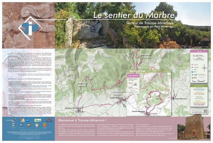
Marble Trail – Loop of Trausse
Description
A hike suitable for both families and experienced hikers.
Trail markers: yellow + red “M” logo
Park in front of the cooperative winery, then walk to the starting point by following the trail markers. Take Rue Marcellin Albert toward the village. At the bend, turn right onto Rue Nationale, then immediately left onto Rue des Remparts. Continue to Place Neuve, then turn right and pass under the stone archway to reach the trailhead.
Start and finish: Place de la Tour de Trencavel. Take the small street heading north, following the yellow markings with a red “M.” Pass Place Vieille, then take the small Rue Saint-Martin and turn right onto Rue de la Pompe. At the intersection, turn right again.
At the next intersection, turn left this time. At the Y-shaped intersection, turn left again (heading north). Further on, following the trail markers, cross the Canet stream (which may be dry) and pass by a house on the right (the former Paulignan sheepfold).
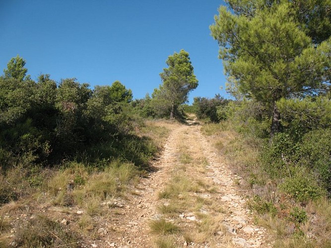
Continue straight ahead, and 400 meters further on, at a trail junction, turn left uphill (north). On this climb, look for the dolmen “Les allées couvertes de Jappeloup” on the right side of the trail.
Arrive at the Saint Roch Chapel and its water source. A lime kiln is located 100 meters above, on the right (private property). Continue toward Trausse-Minervois. At the intersection with the cross, take the path straight ahead (south), then turn left onto Rue Saint Roch and left again onto Place Vieille to return to Place de la Tour de Trencavel.
Technical Information
Altimetric profile
Starting point
Additional information
Advised parking
Parking devant la cave coopérative
Public transport
RTCA Ligne A
Access
Take the D620 from Carcassonne to Caunes-Minervois, then take the D115.
Ambiance
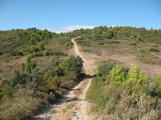
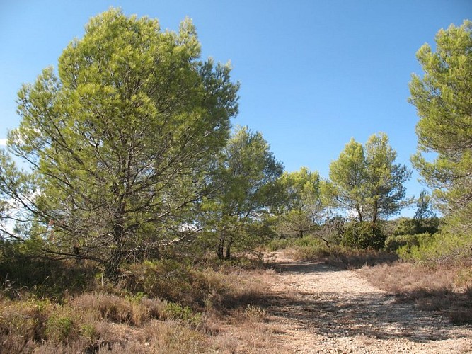
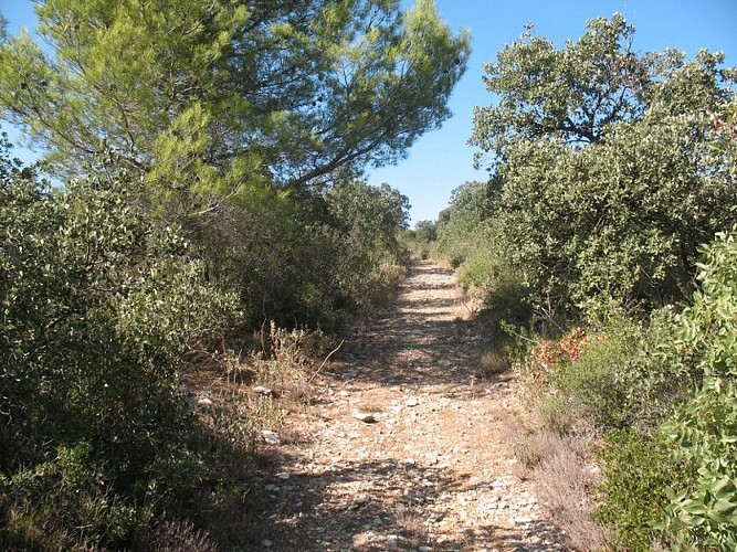
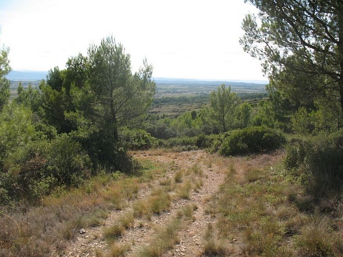
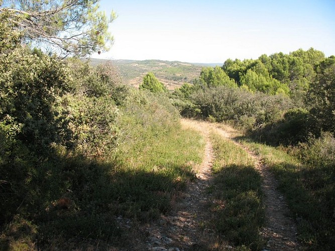
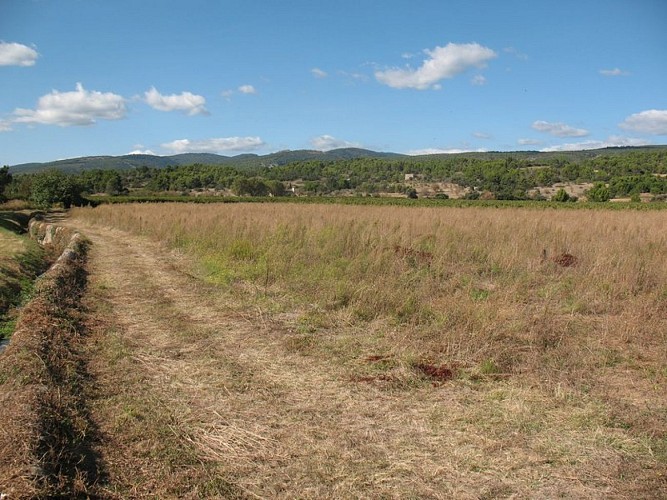
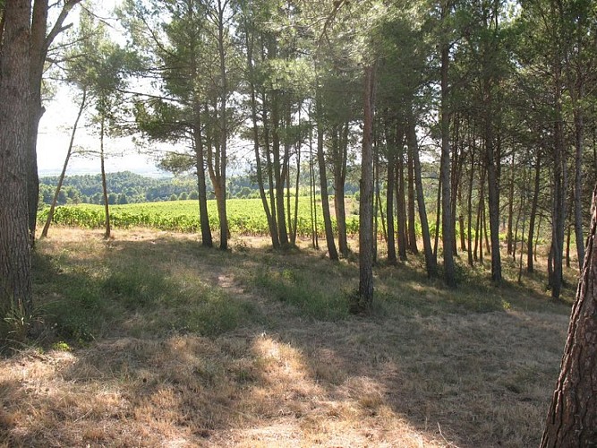
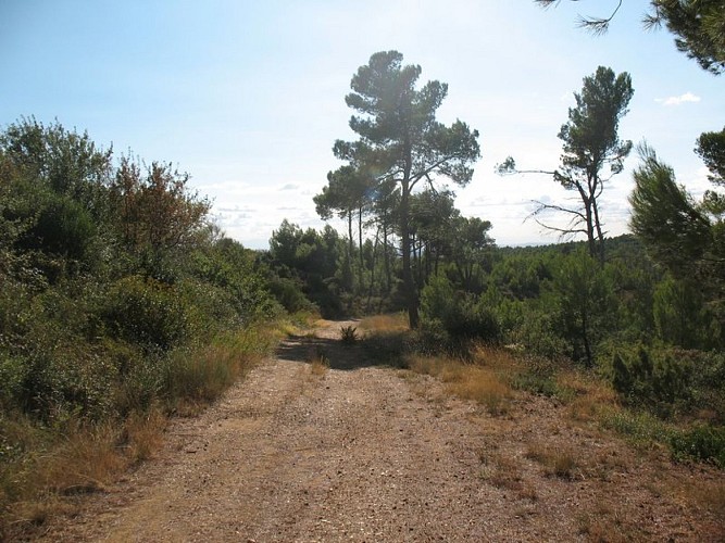
Discover the old town square of this small southern village, the dolmen, and the covered Neolithic stone rows at Jappeloup. The wine-growing plain and the rugged garrigue. The route passes through the Brama, Fédou, and Chamans estates and the old quarry near the Saint Roch Chapel.
Arrival
TRAUSSE - Place de la Tour de Trencavel
Departure
TRAUSSE - Place de la Tour de Trencavel
Data author
