Alert
Alerts
Le Sentier des Pêcheurs
Description
The 1st part of the trail crosses a Sensitive Natural Area, and is equipped with a wooden pathway and an interpretation trail on the protected and remarkable environment. It runs along the left bank of the lake, leading from the village to the Plan beach.
Technical Information
Altimetric profile
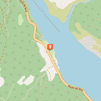
Starting point
Additional information
Environments
Close to a public transportation
TER stop (regional train) within 500 m
Updated by
Office de Tourisme Intercommunal Verdon Tourisme - 29/10/2025
www.verdontourisme.com
Report a problem
Contact
Phone : 04 92 89 02 39
Email : contact@verdontourisme.com
Website : https://www.verdontourisme.com
Type of land
Ground
Topo guides and map references
Map references :
Set of 2 Verdon Tourisme maps of the Saint André and Barrême areas and of the Verdon gorges, from La Palud-sur-Verdon to Castellane.
Animals
Yes
