Alert
Alerts
Le hameau de Seuil
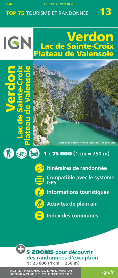
IGN cards


Description
In the heart of the Issole valley, along the way you'll discover the history of its reforestation dating back to the late 19th century. The route continues to climb steadily and yawingly up to the hamlet of Seuil.
Technical Information
Altimetric profile
Starting point
Additional information
Contact
Phone : 04 92 89 02 39
Email : contact@verdontourisme.com
Website : https://www.verdontourisme.com
Updated by
Office de Tourisme Intercommunal Verdon Tourisme - 29/10/2025
www.verdontourisme.com
Report a problem
Type of land
Ground
Topo guides and map references
Map references :
Set of 2 Verdon Tourisme maps of the Saint André and Barrême areas and of the Verdon gorges, from La Palud-sur-Verdon to Castellane.
Location complements
Start in the Isole valley, on the roadside 6.5 km north of Saint-André-les-Alpes
Tricky passages
Caution: risk of falling rocks near ruined buildings.
Animals
Yes
