Alert

Alerts

To see around
See more
Open
Close
Show
Show
Show
Show
Show
Show
Show
Show
Show
Show
Show

Oups... It would appear that Cirkwi does not have permission to use your location.

Presentation
Description
Map
Steps
Ratings and reviews
See around

The Aiguillon's loop

The Aiguillon's loop

IGN cards

3435ETR - VALLOIRE RESISTANTE AIGUILLES D'ARVES COL DU GALIBIER
Editor : IGN
Collection : TOP 25 RÉSISTANTE
Scale : 1:25 000
17.20€
3436ETR - MEIJE PELVOUX RESISTANTE PARC NATIONAL DES ÉCRINS
Editor : IGN
Collection : TOP 25 RÉSISTANTE
Scale : 1:25 000
17.20€
3436ET - MEIJE PELVOUX PARC NATIONAL DES ÉCRINS
Editor : IGN
Collection : TOP 25 ET SÉRIE BLEUE
Scale : 1:25 000
13.90€
3435ET - VALLOIRE AIGUILLES D'ARVES COL DU GALIBIER
Editor : IGN
Collection : TOP 25 ET SÉRIE BLEUE
Scale : 1:25 000
13.90€
TOP75006 - MASSIF DES ECRINS OISANS CHAMPSAUR
Editor : IGN
Collection : TOP 75
Scale : 1:75 000
9.80€
TOP75005 - BRIANCONNAIS QUEYRAS
Editor : IGN
Collection : TOP 75
Scale : 1:75 000
9.80€
TOP100D38 - ISÈRE GRENOBLE VIENNE PARC NATIONAL DES ÉCRINS PARC NATUREL RÉGIONAL DU VERCORS
Editor : IGN
Collection : TOP 100
Scale : 1:100 000
8.40€
TOP100D73 - SAVOIE CHAMBÉRY ALBERTVILLE PARC NATIONAL DE LA VANOISE PNR DU MASSIF DES BAUGES
Editor : IGN
Collection : TOP 100
Scale : 1:100 000
8.40€
202 JURA ALPES DU NORD
Editor : IGN
Collection : TOP 200
Scale : 1:200 000
6.80€
D04-05 ALPES-DE-HAUTE-PROVENCE HAUTES-ALPES
Editor : IGN
Collection : CARTES DÉPARTEMENTALES IGN
Scale : 1:150 000
5.90€
D38 ISÈRE
Editor : IGN
Collection : CARTES DÉPARTEMENTALES IGN
Scale : 1:150 000
5.90€
NR14 AUVERGNE-RHÔNE-ALPES RECTO/VERSO MASSIF CENTRAL
Editor : IGN
Collection : CARTES RÉGIONALES IGN
Scale : 1:250 000
6.80€
NR15 AUVERGNE-RHÔNE-ALPES RECTO/VERSO MASSIF ALPIN
Editor : IGN
Collection : CARTES RÉGIONALES IGN
Scale : 1:250 000
6.80€
NR16 PROVENCE-ALPES-CÔTE D'AZUR
Editor : IGN
Collection : CARTES RÉGIONALES IGN
Scale : 1:250 000
6.80€
EUROPE
Editor : IGN
Collection : DÉCOUVERTE DES PAYS DU MONDE IGN
Scale : 1:2 500 000
7.00€

Description

This run gives you the chance to visit the Romanche upper valley through dreamy landscapes, with la Meije as a focal point. It is a lovely loop to visit the classic places around the Meije county.

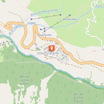
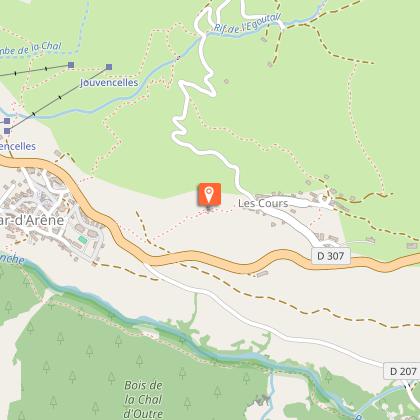
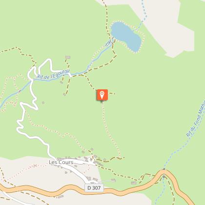
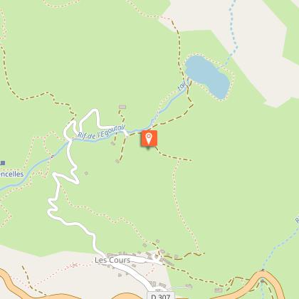
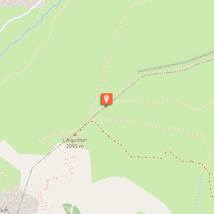
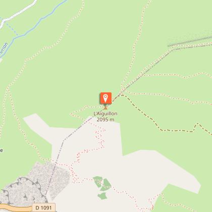
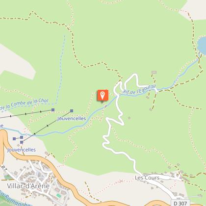
Starting from the village hall in La Grave, you will have a glimpse of the atmosphere reigning in this mountain village to then follow a path running up the refreshing river Romanche in a forest of larch before entering Villar d'Arène. After running in the streets of the village you will gain height reaching Pontet lake where you will enjoy an overview of the valley. Afterward a pleasant track will lead you to the Aiguillon pass and you will only have to run down on the other side of the hill towards Valfroide. Crossing several hamlets of La Grave, the path will lead you back to your starting point fairly rapidly.

Technical Information

Trail running
Difficulty
Medium
Duration
2h
Dist.
15 km
Show more

Altimetric profile

Starting point

Salle des fêtes , 05320   La Grave
Lat : 45.044224Lng : 6.301234

Steps

Additional information

Updated by

Office de tourisme des Hautes Vallées - La Grave - La Clarée - L'Izoard - 04/08/2025
www.hautesvallees.com/la-grave/
Report a problem

Environments

Forest location
Mountain location
Lake 5 km away
River 5 km away
Waterside

Open period

From 01/05 to 30/10 daily.

Subject to snow conditions.

Contact

Phone : 04 76 79 90 05

Email : lagrave@hautesvallees.com

Website : https://www.hautesvallees.com/la-grave/

Type of land

Rock
Stone
Ground

Tricky passages

In between La Grave and Villar d'Arène, there is a path that is exposed with the river Romanche below.

Animals

No

Data author

Ratings and reviews

To see around
See more
Open
Close
Show
Show
Show
Show
Show
Show
Show
Show
Show
Show
Show
Caution!
We have no information on the difficulty of this circuit. You may encounter some surprises along the way. Before you go, please feel free to inquire more and take all necessary precautions. Have a good trip! 🌳🥾