Alert
Alerts
The Meije Marathon


IGN cards


Description
This trail is a marathon that will lead you through secluded areas in the Meije County.
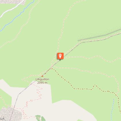
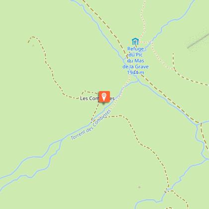
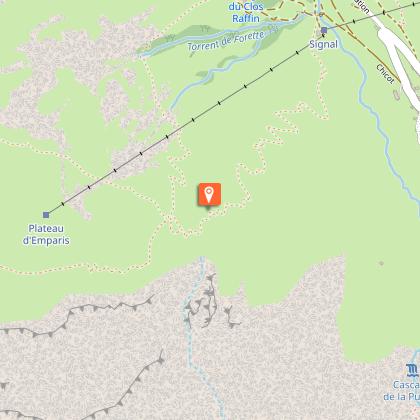
This challenging trail, mostly above 1600 meters high, follows the tracks of the 26km trail run but forks towards the Pic du Mas de la Grave Hut and up to the renowned Emparis Plateau. In September, this plateau looks like plaines of south America with its grass turning to gold and its blueberry bushes offering a marked contrast with its vivid red. A loop on this plateau will lead you to two different mointain lakes with a view on the Ecrins Range. To finish it all up, a long run down will bring you back to the starting point: La Grave.
Technical Information
Altimetric profile
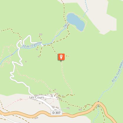
Starting point
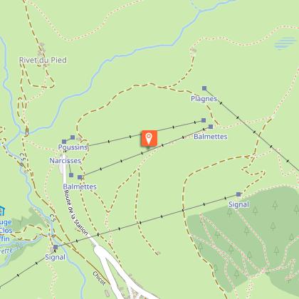
Steps


Additional information
Updated by
Office de tourisme des Hautes Vallées - La Grave - La Clarée - L'Izoard - 04/08/2025
www.hautesvallees.com/la-grave/
Report a problem
Environments
Forest location
Mountain location
Lake 5 km away
River 5 km away
Waterside
Open period
From 01/05 to 30/10 daily.
Subject to snow conditions.
Contact
Phone : 04 76 79 90 05
Email : lagrave@hautesvallees.com
Website : https://www.hautesvallees.com/la-grave/
Location complements
The starting point is at the village hall carpark of La Grave, at the entrance of the village when coming from Grenoble.
Coming with a bus: LER 35, stopping in front of the tourism office.
Type of land
Rock
Stone
Ground
Tricky passages
In between La Grave and Villar d'Arène, there is a path that is exposed with the river Romanche below.
And when running down after Chazelet, there is a dangerous turn before the Bon repos chapel.
Animals
No
Data author
