Alert
Alerts
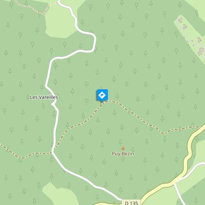
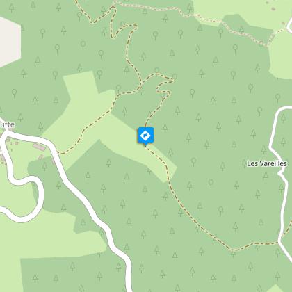
Le Puy Bezin

Description
Tinted with shades of green and touches of pink the Monédières landscape is revealed at the top of the puys.In the square, take the D16 towards Egletons and, before the cemetery, take the road on the right. Continue on the D135 on the right, leave the Plantade holiday centre on the right and continue.Take the forest track on the right. It leads through stands of coniferous trees and passes on the northern side of the Puy Bezin (in the 19th century, a chapel dominated the moorland at the top of the Puy Bezin; today, the heather has disappeared and so has the chapel).At the crossroads, continue straight ahead. The track climbs up the Puy d'Aubart (view of the Monédières: from the dry heath of the Puy de Gussanges, on the right, to the coniferous plantations of the Puy Charrin, on the left, passing through deciduous forests and meadows, this panorama presents the multiple facets of the evolution of the landscape) and descends the northern slope in a few bends.At the junction, go down the track to the right.In the bend, set off on the path to the right. It goes down through the undergrowth, then alongside the valley of the Plantade which runs through wet meadows (called pastures). Cross the stream to arrive at the entrance to Laborde. Continue by the road that goes up in the hamlet and go past the houses.Follow the path on the right for 200 m, then go up by the path on the left into the beech woods. Continue along the small road, then take the D16 to the right to find the starting point again.
Technical Information
Altimetric profile
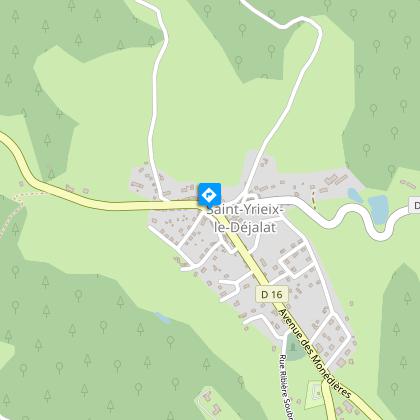
Starting point
Steps
Points of interest


Additional information
Advised parking
Church, Saint-Yrieix-le-Déjalat
Access
10 km northwest of Egletons on the D16.
Ambiance
The once bare and heather-covered puys have lost their sheep and shepherds. Pine trees now cover the mountains and contribute to a new economy: the wood sector.
Arrival
Church, Saint-Yrieix-le-Déjalat
Departure
Church, Saint-Yrieix-le-Déjalat
Data author
