Alert
Alerts
Sentier des gorges


Description
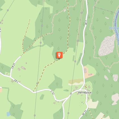
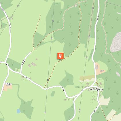
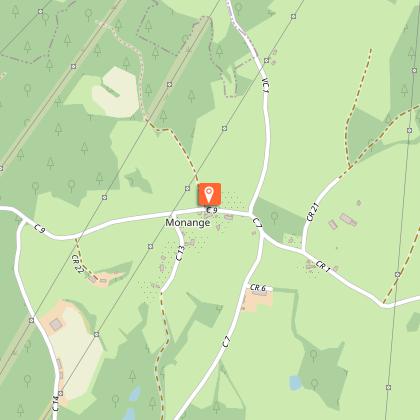
Between the sky and the Dordogne, the trail begins by descending into the Dordogne gorges, then winds its way across the agricultural plateau, passing through the villages of Vernéjoux, Enval and Monange. Pleasant in all seasons, with a particular fondness for winter, when the absence of leaves makes it easier to discover the river and the panoramic views of the snow-covered Auvergne mountains. Yellow markings.
More difficult variant descending to the banks of the Dordogne (4 hours ? 14 km).
Technical Information
Altimetric profile
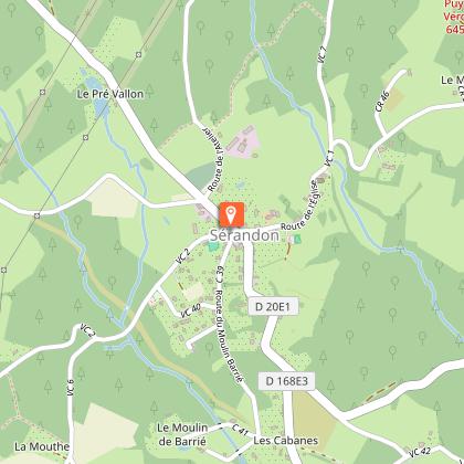
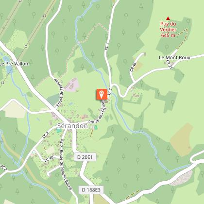
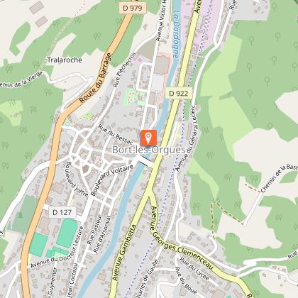
Starting point
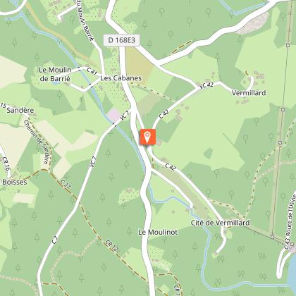
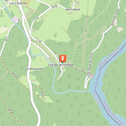
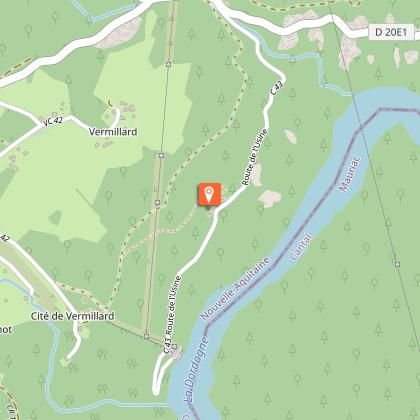
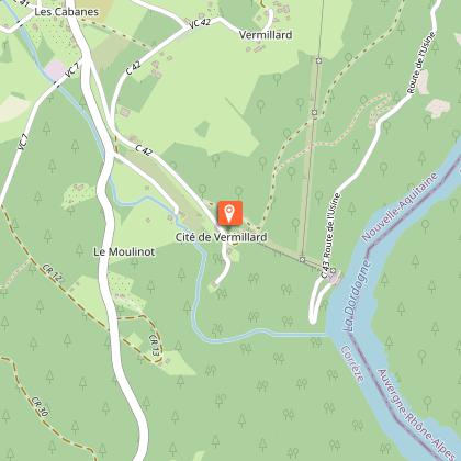
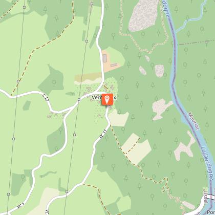
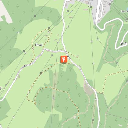
Steps

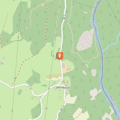


Points of interest


Additional information
Balisage
Yellow
Contact
Fixed telephone : 05 19 60 00 30
Web site (URL) : www.tourisme-hautecorreze.fr
e-mail : accueil@otc-haute-correze.fr
Typologie de l'itinéraire
Loop
Thèmes
Natural
Durée moyenne de l'expérience
3 to 4 hours
Data author
