Alert
Alerts
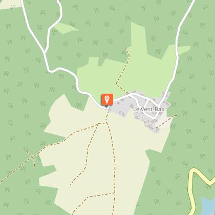
Du Vent-Haut au Vent-Bas


Description
The route follows the "old road" that once linked Neuvic to Mauriac via the convent of Saint-Projet le Désert, now swallowed up by the Aigle dam reservoir. Beyond the impressive gorges of the Dordogne, a protected area and land of birds of prey, lies the Auvergne. The trail evokes life in the villages of yesteryear. Sechadours (chestnut drying sheds) and slate-covered wells are typical of the Haute Corrèze region. The walk ends at the village of Vent-Haut.
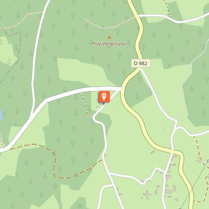
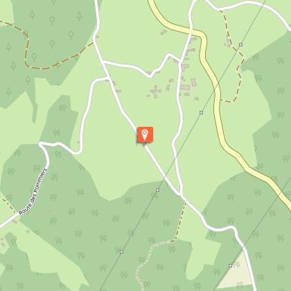
The route is counter-clockwise. The start is 5 km south of Neuvic, on the D982 towards Mauriac, at the Vent-Haut group gîte.
Technical Information
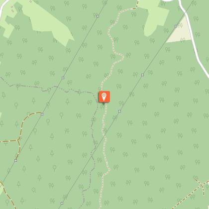
Altimetric profile
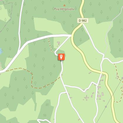
Starting point
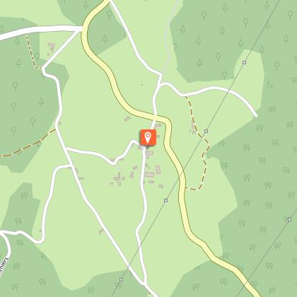
Steps


Points of interest

Additional information
Contact
Fixed telephone : 05 19 60 00 30
Web site (URL) : www.tourisme-hautecorreze.fr/
e-mail : accueil@otc-haute-correze.fr
Typologie de l'itinéraire
Loop
Thèmes
Cultural
Balisage
Yellow
Durée moyenne de l'expérience
3 to 4 hours
Data author
