Alert
Alerts
History and Heritage Trail - Full circuit


Description
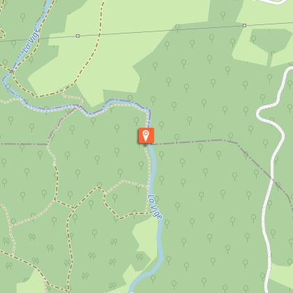
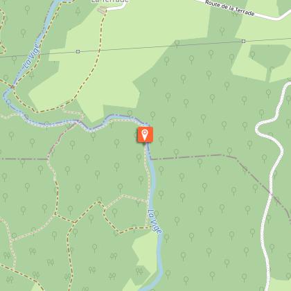
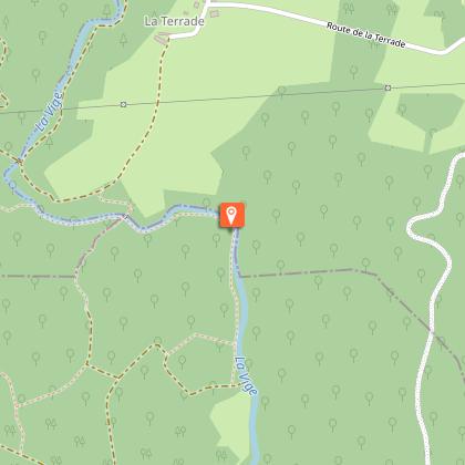
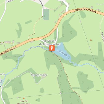
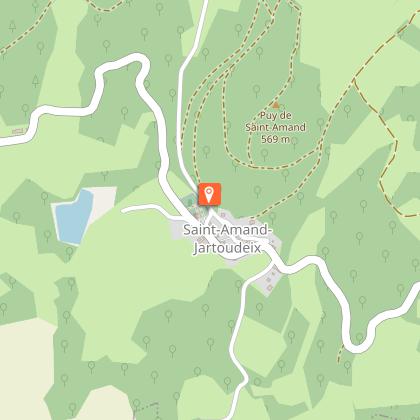
This trail is your chance to discover the western part of the territory of Creuse Sud-Ouest, which is full of hidden treasures, on foot, by mountain bike or on horseback.Turn right on the RD 94 towards Sauviat-sur-Vige for 500 m before turning right onto an agricultural road. The path turns left and then continues straight ahead until you reach the farm of La Martine. Pass behind these buildings and continue on the path to the right until you reach the road.Take the road opposite, follow it straight ahead, pass Pontauty and then take the road on the right towards Le Monteil. Take the first road on the right that goes around Le Monteil, follow it for 300 m, then take the road on the left, the gateway to the site of the forest of Epagne. Go straight ahead, leave a track on the left and paths on the right to reach a wide crossroads. Take the track at the bottom right up to the river la Vige. Follow the river on the left until you reach the wooden footbridge, cross it, then continue on the upward path. At the top of the hill, turn right and continue until you reach the village of La Terrade.At La Terrade, go through the farmyard and join the road on the right. At the last farm, turn left between the buildings, pass the new house and continue on to the road to Pierre Billard. Turn right, then, after 50 m of road, take the first path on the left. Follow it until you reach the road to the left. Before the Chez Lord bridge, take the road on the right which runs alongside a large house and its pond towards the mill. Before reaching this building, turn right on the path that leads to the village of Moulin-Jeune via the woods.At Moulin-Jeune, go between houses to reach the main road, follow it on the left for 200 m and then take the first road on the left surrounded by meadows. Continue straight ahead.Just before reaching the Besse road, turn left on the path that leads to Le Pont du Beige. Take the road opposite, on the right of the house, and continue around the second farmhouse. When the road makes a right-angled right turn, leave it, and take the road straight ahead along a large fence, then, a few metres further on, take the path on the left that runs along a meadow and crosses an area of forestry. At the end of this wood, turn right onto the farm track that goes up into the meadows, then goes down into a wood. Cross the river Béraude by a wooden footbridge, and then climb up to the private chateau of Védrenas.In front of the entrance of the chateau, take the pathway on the right, follow it to the road. Continue on the left for 200 m, then take the first track on the right which leads to Montboucher. Cross the road straight ahead towards the housing development. At the top of this road, in the right-angled bend, a grassy path borders the gardens and falls back down to the road. Turn right towards the town centre and then right again towards the church.Walk past the church towards the cemetery and stay on the main road. Before reaching the cemetery (recommended detour), turn left onto a path that leads down to the RD 36. At the road, turn right and follow it until you reach the junction with the RD 941. At the crossroads, follow the RD 941 carefully on the right for 300 m and cross it to take the left road towards the Montboucher mill (watch out for traffic)!). 300 m further on, turn right on the dead-end road leading to the mill, pass in front of it, and continue on the path bordering the right of the pond to the village of Gorceix.At the metal cross in Gorceix, take the track which rises on the right and a few metres further on, another track on the right to the village of Le Clou. Once you reach the road, follow it on the left and pass through the village. At its exit, take the first trail on the left that goes up, leave a path on the left and continue straight through the fields. After a left turn, turn right on a forest path. At the crossroads of three paths, take the one on the right that goes up to the top of the Puy de Saint-Amand-Jartoudeix, then leave the path on the left to reach a cross and a breathtaking view of the town. Continue straight ahead along the path that goes around the puy, leave a path on the right at a water reservoir, then a path on the left and finally a last path on the right.When you reach the road, fork left onto the left-hand road that goes up to the village, leave one road on the left, and go down towards the main road. Once reached, take it to the right until you reach the church and its cemetery, go past it, fork right and return to the bottom of the puy. Follow the main road on the left for 800 m towards Marcoux. Turn left onto a tree-lined path to join a road which you follow on the left towards a detached house. Take the track on the right which goes up and around the house. On the right-hand side of the road, a small menhir and, a little further on, a stone cross deserves a short round trip. This path leads to the RD 941 in the village of Nouhaud, follow it on the left to return to the car park.
Technical Information
Altimetric profile
Starting point
Steps
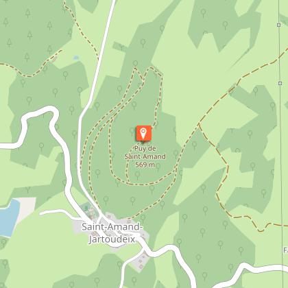
Points of interest


Additional information
Advised parking
Parking Route D94, Le Nouhaud
Advice
Of medium difficulty, this trail is intended for all sports enthusiasts, equipped with at least good hiking boots and appropriate clothing. Take care when crossing the RD 941.
Access
D941 from Bourganeuf (14 km)
Ambiance
In a day or half a day of hiking, you will discover places where prehistoric, Gallo-Roman and medieval remains, and buildings from modern and contemporary times have been discovered, as well as a remarkable natural and landscape heritage.
Arrival
Parking Route D94, Le Nouhaud
Departure
Parking Route D94, Le Nouhaud
