Alert
Alerts
The Cantinière forest
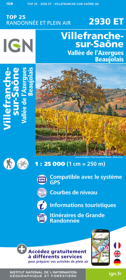
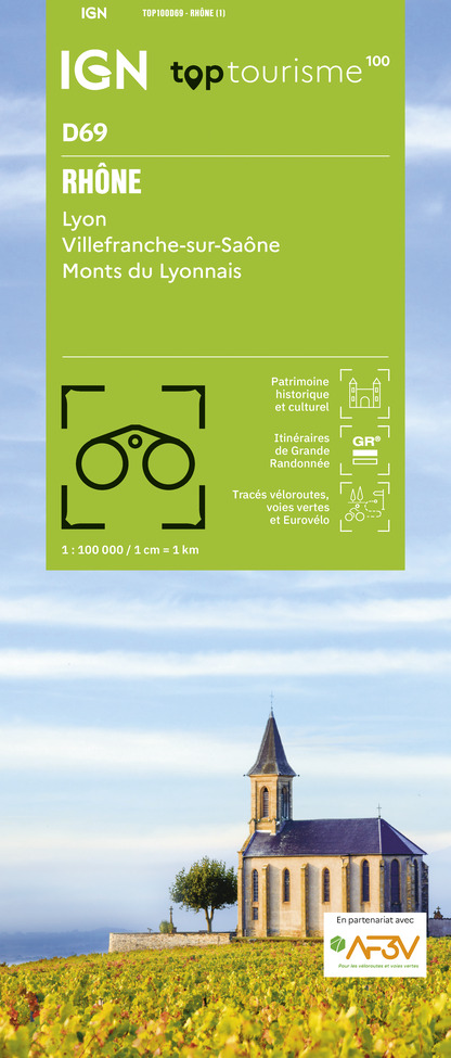
IGN cards


Description
The Rhône Department owns several forests on its territory, including that of La Cantinière.
It extends over a massif located south of Beaujolais and is also classified as a sensitive natural area.
Many hiking trails criss-cross it: the GR®P du Tour des Pierres Dorées, the GR®76 and short hiking trails taken from map guides. Fun workshops made of wood. The visitor is invited to soak up the atmosphere of the forest while contemplating the natural heritage it conceals.
Technical Information
Altimetric profile
Starting point
Additional information
Updated by
Office de Tourisme du Beaujolais Vert - Lac des sapins - 11/08/2025
www.beaujolaisvert.com
Report a problem
Open period
All year round.
Contact
Phone : 04 74 89 58 03
Email : accueil@beaujolaisvert.com
Website : out.ac/kw4xx
Facebook : www.facebook.com/beaujolaisverttourisme
Type of land
Stone
Ground
Data author
