Alert
Alerts
Mountain bike trail - Col du Buisson
Description
Mountain Bike Trail No. 11 (Black), as rated by the French Cycling Federation.
The route begins with a fun and technical descent to the Maillotière Bridge. From there, it’s a long climb to the Fontfreyde Pass, followed by a ridge section and a beautiful descent.
Technical Information
Altimetric profile
Starting point
Steps
Additional information
Updated by
Ardèche Hermitage Tourisme - 09/07/2026
ardeche-hermitage.com
Report a problem
Environments
In the country
River -5 km away
Village centre
Services for cyclists
Available on the trAHce app
Open period
All year round daily.
Location complements
The starting point is next to the post office in the village center.
Contact
Phone :
04 75 08 10 23
04 75 06 06 12
Email : info@ah-tourisme.com
Website : https://www.onpiste.com/explorer/routes/11-col-du-buisson-7140
Reception complements
From Saint-Félicien, take the D273 to Pailharès.
Guidebook with maps/step-by-step
1 - Pailharès
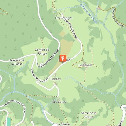
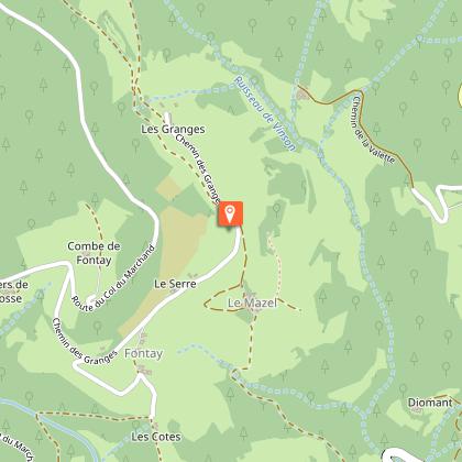
Follow the concrete path, which later becomes paved. Pass a house and enter a chestnut forest via a dirt path. Cross a small stream, then climb up and exit the woods via a pretty paved path. The path leads to a road. Turn left onto it and follow it to the next house (Fontay). Take the grassy path next to the house, rejoin a road, and follow it to the right.
2 - Le Clos de Pierre Martin
Turn right onto the path that descends into the Daronne Valley. Pass the stone hamlet and take the grassy trail to the right. Cross the county road. You’ll come back to the small road below.
3 - La Croze de Marron
Take the trail in the small valley to the left below the road. Follow the access road to the hamlet, and just before the bridge, turn right onto the path leading to the stone houses. Cross the pretty wooden bridge, and follow the river on the other side along the forest path. You’ll come out onto the rural road, which you’ll follow downhill to the house. Across from there, take the road that leads to the county road; follow it to the right toward Saint Félicien.
4 - Pont de Maillotière
Take the small road from Nozières to the right to cross the bridge. Turn left at La Billardière. Turn left toward Le Verger. Further up, take the steep path to the right through the pastures. Cross over to the other side of the hill. Take the path straight ahead under the farm shed. Climb the fairly steep path through the chestnut trees.
5 - Le Grand Pré
Take the forest path to the right. Come out onto a small road near a farm shed and follow it to the left for a few meters. Take the path that climbs above the farm and descend through the meadows to the fortified farm of Le Pleynet. Go down the access road and take the first left. The road turns into a path near Ségnoché. The path follows the hedgerow before entering the forest and coming out onto a forest trail. Take the smooth forest track to the right. Cross through the fields, then take a fairly steep forest path to complete the climb. You’ll emerge onto a forest track that you’ll follow to the Col de Fontfreyde antenna.
6 - Col de Fontfreyde
Take the road to the left toward Nozières.
7 - Croix de Junique
Take the path to the right between the meadows, which then descends into the forest. Continue on a trail running along a ledge above a stone farmhouse, before climbing back up through the chestnut trees. You’ll emerge onto a small road; follow it to the left for a few meters before turning right onto the rural path.
8 - Serre de Pailher
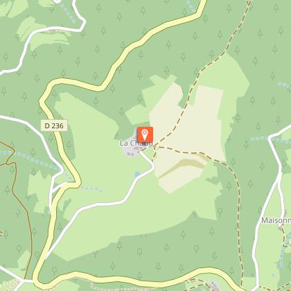
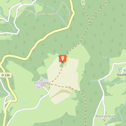
Enter the dense coniferous forest on the right. You’ll come out onto pastures and reach the departmental road. Immediately turn right onto the path that climbs into the forest. You’ll emerge onto a plateau, and veer right at the Ferme de la Chaux. Follow the plateau before taking a rocky trail to the right.
9 - Le Fouillas
Follow the county road to the right until you reach Col du Buisson.
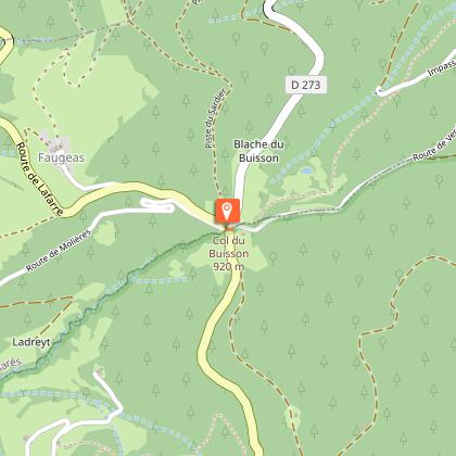
10 - Col du Buisson
Take the narrow grassy path that starts beneath the platform between the two access roads to Pailharès. The path crosses a small road and descends quite steeply into a wild valley. On the small road, continue down to the right, then continue straight ahead on the road below. The village of Pailharès then comes into view ahead. Turn right onto the overgrown trail to reach the village along the hillside.
Animals
Yes
