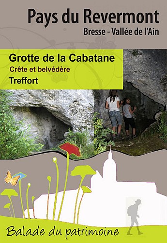
Grotte de la Cabatane, ridge and viewpoint
Description
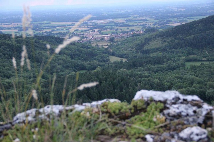
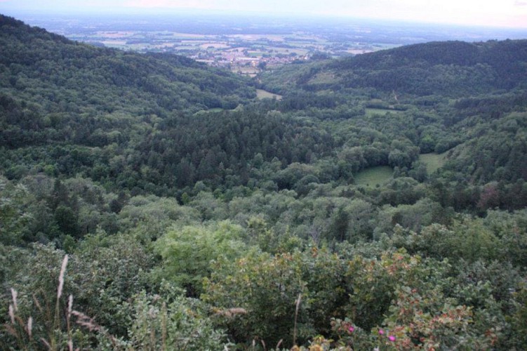
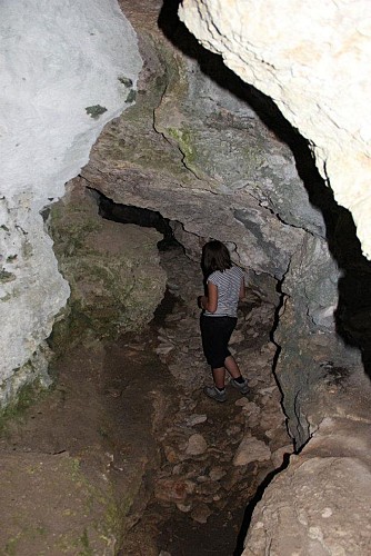
Small walk to discover the cave of the Cabatane and the magnificent viewpoint on Treffort.
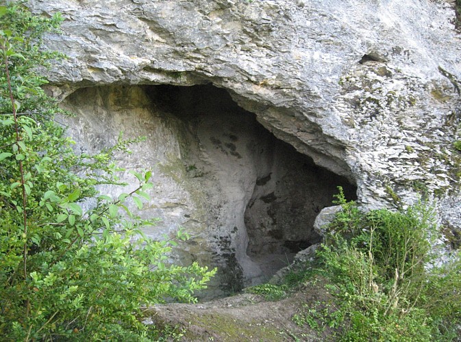
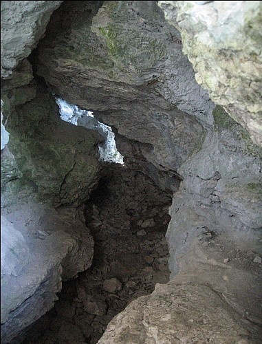
The mountains of Revermont are composed of limestone rock that rainwater shapes and sculpts.
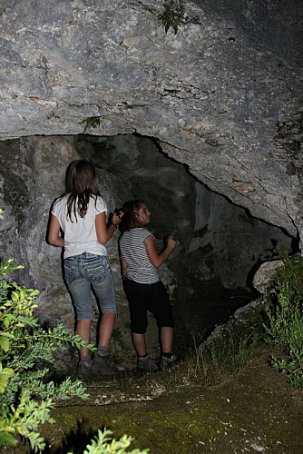
In prehistoric times, our ancestors used the caves as a habitat, temporary shelter or as a burial place.
Numerous objects and remains of meals have been discovered there from different periods.
These caves have also delivered many animal remains: marmots, bears, horses, deer, yennes ...
Not to be missed in the vicinity !
- Medieval village of Treffort
- The wash house of La Platte
- The Mount Grillerin
- Village of Meillonnas
- Castle of Rosy
- Leisure center of the Grange du Pin in Cuisiat
Technical informations
908 m
|
max. 537 m
min. 444 m
129 m
| |||
Styles : HikingBaladeDiscoveryUnusualMountain Public : FamilyOccasional hikers Theme : Patrimony | ||||
Altimetric profile
Starting point
Additional information
Reception complements
Marked trail #7
Contact
Phone : 04 74 22 49 40
Email : accueil@bourgenbressedestinations.fr
Website : www.bourgenbressedestinations.fr
Facebook : www.facebook.com/bourgenbressetourisme
Open period
All year round.
Updated by
Bourg-en-Bresse Destinations - Office de tourisme - 05/02/2024
www.bourgenbressedestinations.fr
Report a problem
Environments
Mountain view
