Higuères-Souye : entre Luy et Souye en VTT
Description
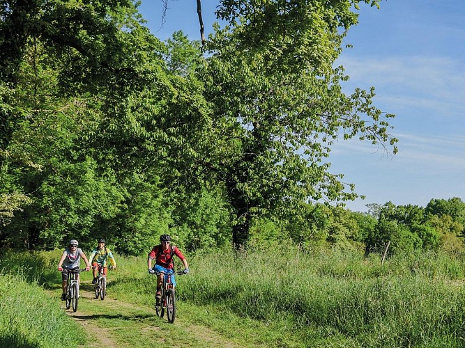
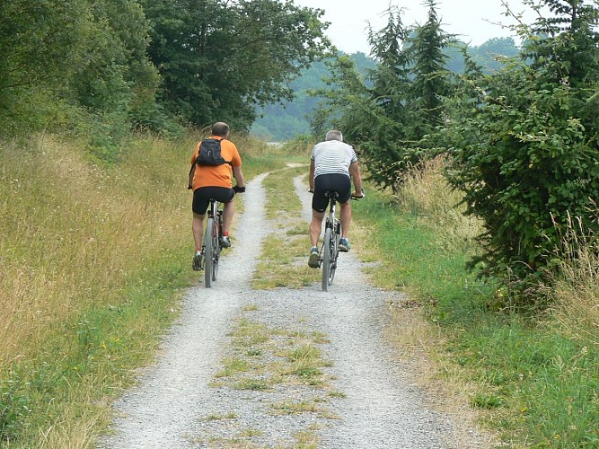
This highly varied route is equally appealing to mountain bikers and walkers. The undergrowth sections and paths are very pleasant. The relief on the banks of the Luy de France and Souye rivers is very pronounced, giving this route a sporty feel.
Technical informations
12 km
|
max. 294 m
min. 226 m
230 m
| |||
Altimetric profile
Starting point
Steps
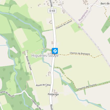
Etape 1
With your back to the church, cross the road, go right and take the path on the left. At the large farm, turn left onto the lane, and after the house, follow the shady pebble path to the right. Return to the road, cross the Souye and turn left at the top of the hill. At the corner of a copse, turn left off the road. After the track, continue straight ahead on the asphalt, skirting the high-voltage power line.
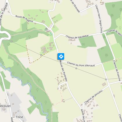
Etape 2
Turn left, then right, past the farm, continue on the track and fork right onto the Chemin d'Artigou. Once on the D222, take care when crossing and continue along the Luy de France. This cool stretch is ideal for a picnic! The track levels out and there is a climb up the hillside. Continue as far as the junction with the D222.
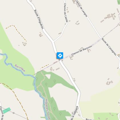
Etape 3
Pay attention to the crossing and continue straight ahead. At the crossroads, turn right and then left. The track runs south along the hillside. Take a track on the left that descends due north. After the ford (which can be high in winter), climb back up onto the plateau and join the D43. Follow the signs for Garlin, then turn immediately right.
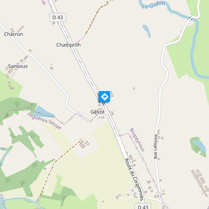
Etape 4
On the shady descent that follows, turn right into rue Labourie. Go straight on for 1 km and take the track opposite. Leave the track and take a dirt track through a copse on the right. When you reach the D43, turn right to the church.
Additional information
Balisage
Yellow
Triangle du VTT
Typologie de l'itinéraire
Loop
Durée moyenne de l'expérience
1 to 2 hours
Equipements
Picnic area
Thèmes
Natural
Contact
Fixed telephone : +33 5 59 33 62 25
Syndicat tourisme Coteaux Béarn Madiran (antenne Morlaàs)
Web site (URL) : www.bearnmadiran-tourisme.fr/
e-mail : contact@bearnmadiran-tourisme.fr
Animaux bienvenus ?
Oui
Data author
