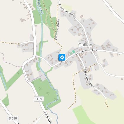
Ouillon : chemin des bergers
Description
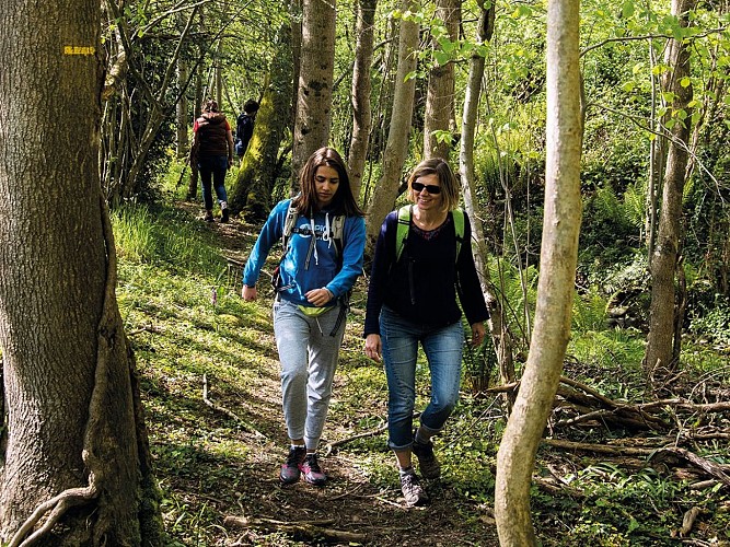
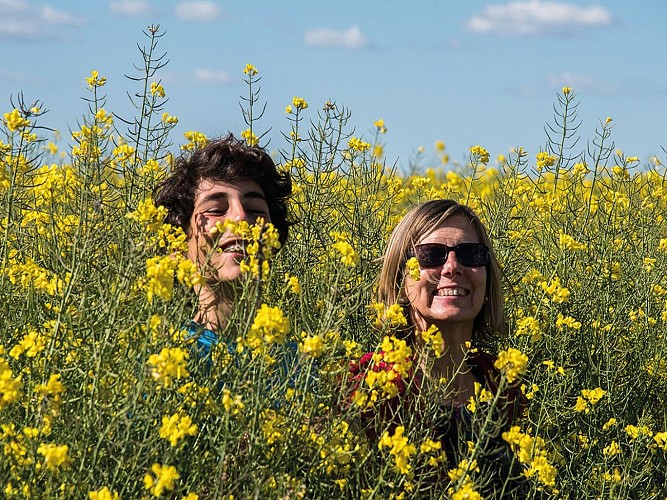
This beautiful walk crosses moorland, hillsides and the many rivers that have shaped the landscape. The route is full of contrasts, with both shaded and open areas. The gradient is less steep, but the distance is worth bearing in mind.
Technical informations
15 km
|
max. 341 m
min. 266 m
70 m
| |||
Altimetric profile
Starting point
Steps
Etape 1
From the car park near the church, turn left and walk along the chemin des écoliers. Watch out for traffic! Cross the Luy bridge and turn right at the intersection. Turn left onto the Cami de Peborde to the left. At the entrance to Serres-Morlaàs, follow the forest path. Take the downhill track and at the end of the wood, go back up the road. Walk along this road, which leads to Andoins.
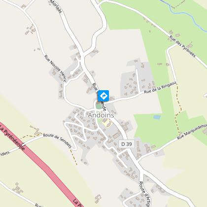
Etape 2
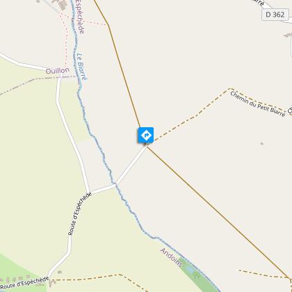
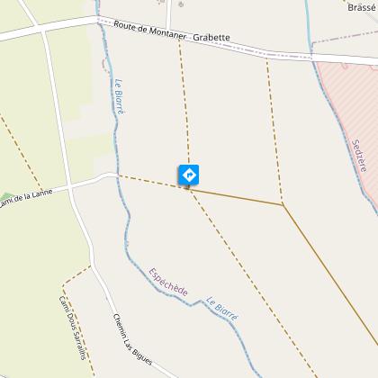
Go around the church and take rue de la Ringaou in front of the town hall. At the first sharp bend, turn right onto the track. At the end, turn left and cross the road at the crow's feet. Follow the Espéchède road until it becomes gravelly. Walk until you reach a junction of four tracks.
Etape 3
Go around the church and take rue de la Ringaou in front of the town hall. At the first sharp bend, turn right onto the track. At the end, turn left and cross the road at the crow's feet. Follow the Espéchède road until it becomes gravelly. Walk until you reach a junction of four tracks.
Etape 4
At the end of the path, turn left and keep going in this direction until you reach the Soum dou Bos path. Cross it on the left and enter a wood on the right. Follow this track down to the road. Go back up before entering the coniferous wood. When you reach the tall fir trees, take the narrow path on the right that follows the Luy de France. Continue along the track until you reach the road. Head back up towards the centre of Ouillon.
Additional information
Balisage
Yellow
Typologie de l'itinéraire
Loop
Durée moyenne de l'expérience
2 to 3 hours
Thèmes
Natural
Contact
Fixed telephone : +33 5 59 33 62 25
Syndicat tourisme Coteaux Béarn Madiran (antenne Morlaàs)
Web site (URL) : www.bearnmadiran-tourisme.fr/
e-mail : contact@bearnmadiran-tourisme.fr
Animaux bienvenus ?
Oui
Data author
