Alert
Alerts
A breath of mountain air

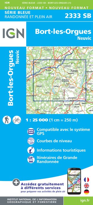
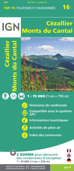
IGN cards


Description
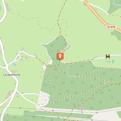
Go for a climb and discover the most beautiful panoramic views in the region!Walk alongside the church wall on the left, then continue straight on towards Bort-les-Orgues. Take the first track on the right and follow it to the houses, leaving the paths on your right. At the first crossroads in the village, go straight on. At the next crossroads, after passing the Saunat sign, take the road to the left.At the next intersection, go towards Saunat-Haut, then take the first road on the left. In front of the old school, turn right onto the trail/ When you reach the road, turn left. 150 m further on, take the path on the right, which goes up into the woodland undergrowth. At the next crossroads, which overlooks the houses, turn right and then go straight on at the crossroads of the tracks towards the Site of the Pyramid.At the next intersection, turn right to make a return trip to the Site de la Pyramide (1. 3 km round trip), from where you will have a breathtaking view of the Bort-les-Orgues dam and the Chateau du Val. Return to point 3.Go straight ahead to continue the route and then turn left at the road. At the end of the road, fork left onto the track, which then winds through the wood. At the first intersection, follow the left-hand track and then, 600 m further on, turn right onto a trail in the undergrowth. Follow it, keeping to the right.At the end of the wood, take the path on the right, leaving the houses on your left. At the next crossroads, turn left and then go past a barn. This route comes out onto the road, turn left. When you reach Le Pont Vert, turn left onto the D 127. After the house, turn right onto the path. This path crosses a road where you continue straight ahead on the trail opposite which continues across pastureland.When you reach a farmer's green polytunnel, turn left onto the track. In the village, follow the road straight ahead. At the crossroads, turn left and then immediately right onto a small road. After 600 m, turn left onto a trail lined with hedges. This trail leads to a road that you will always follow to the right to get back to the starting point. To get there, go straight through the village to the church.
Technical Information
Altimetric profile
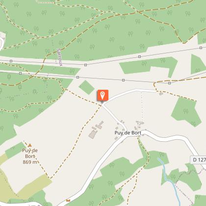
Starting point
Steps
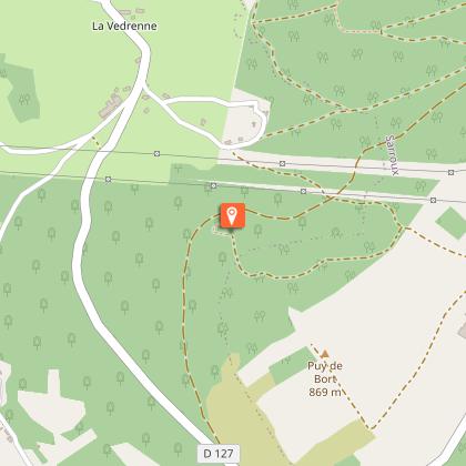
Points of interest


Additional information
Advised parking
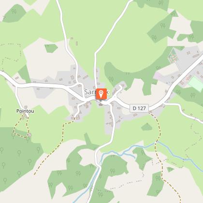
Church, Sarroux
Access
From Bort-les-Orgues, take the D 979 towards Ussel. About 5 km after leaving Bort-les-Orgues, turn left towards Sarroux / Saint-Julien. Go straight on for 2 km, then park on the left just after the church in Sarroux.
Ambiance
You are here in the highest commune of the Plateau Bortois. To begin with, stroll through the pretty village of Sarroux. After this gentle stroll, start your climb to the highest point of the commune: the Puy de Bort (859m). Your efforts will be rewarded by the most beautiful view of the two Auvergne giants, the Puy de Sancy and the Puy Mary. At the end of the route, the two old rivals, the Chateau du Val and Chateau Pierrefitte, proudly stand opposite each other with the Dordogne as their boundary.
Arrival
Church, Sarroux
Departure
Church, Sarroux
