Alert
Alerts
The mill circuit

IGN cards


Description
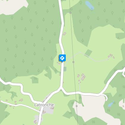
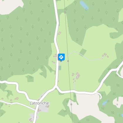
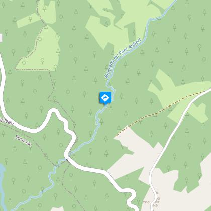
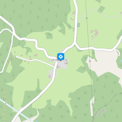
From streams to volcanoes, via the paths leading to old mills, the four elements of nature punctuate this trail.Park in the town hall car park. Head towards the village but, before the cemetery, turn left towards Lachaud. In the bend before the house, go straight ahead along the grassy path leading to the Lachaud stream. Go back up to the road.Take the road on the left for 500 m, then take the road on the left, towards The mill at Cheyres. Cross the Lachaud stream again; the road becomes a path that climbs through the undergrowth. Keep straight ahead, ignoring several paths on your right and left. At the crossroads, follow the tarmac track to the right for 200 m, then take the track that climbs to the left. Turn right at the road to La Croix Longue. Go past the cross.In the village, leave the road and take the second path on the left towards a barn. The path descends to the Pont Aubert stream, which you cross on a footbridge. Go up towards the village of Giraudeix.50 m after the last house, follow a path on the left between two meadows. This path continues through the undergrowth and becomes a trail that descends to the Giraudeix mill. Continue. Just after the bridge over the stream, take the trail on the right that runs along the edge of Le Pont Aubert as far as the road.Go left for a few metres and then turn right onto a path that climbs through the undergrowth and arrives at a road.Follow it to the left for 150 m towards St. Pantaleon, then leave the road and follow the path to the right. At the next crossroads, turn right; the path continues along a logging road. Take the road to the left to reach the village of Latronche and the departmental road.Cross the road to explore the church (150 m round trip) or follow the departmental road towards Neuvic to find the starting point again.
Technical Information
Altimetric profile
Starting point
Steps

Additional information
Advised parking
Town Hall, Latronche
Access
From Neuvic, take the D 982 south towards Soursac. At the next junction, continue towards Soursac on the D 166 for about 8 km. Once in Latronche, park on the right at the town hall.
Ambiance
The commune of Latronche takes its name from the Occitan "La Tronche", which refers to the stump of a felled tree left in the ground. This trail takes you alongside streams through rolling countryside and forests. On the way back to the village, don't miss the panoramic view of the village and its 12th-century church with the Monts du Cantal in the background.
Arrival
Town Hall, Latronche
Departure
Town Hall, Latronche
