Alert
Alerts
MTB track no. 1 (black) - Chapelle de Montfort - Refuge du Mont-Myon

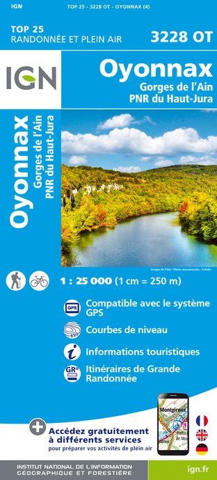
IGN cards


Description
Unique in the landscape, a mythical place for the locals, Myon-Mont is extraordinary for its scenery and the view from its summit, especially after the famous Z climb.
A mix of wide, undergrowth paths and the vast expanses of the western Revermont.
A loop under the crests of the Lomont before discovering a sleeping beauty, the chapel of Montfort, solitary under the ruined walls of its castle.
Brush up against the Comtois border before a short, stony descent from the Plain Champ pass to Mont Chevalet.
Unexpectedly, there's a small retreat below the village of Courmangoux, from which emerges the Vauchère spring, the last karstic sign of the Revermont massif, before the Bresse trails and the return to the Grange du Pin lake.
Base VTT Espace Revermont - FFCT signposting - n°1 - black
Pass over the dyke and around the lake. Go under the farmhouse and up the path towards Cuisiat. At the Musée du Revermont, turn left just before the church, then right up the Bois de la Côte to the Chapelle de Montfort. Go straight back down to Cuisiat and turn right towards La Ferrolière. At La Ferrolière, go down to Pressiat and take the road up to the summit of Mont-Myon, passing the paragliding school and climbing site. At the summit of Mont-Myon (listed site - 360° panorama), descend to the col de plain-champ (north face). Just before the "Revermont" stone (at the pass), turn left towards Chevignat. Cross the RD 52, past the Chevallet lake and the Chevignat chapel, to reach Courmangoux via Mont Chevallet. In front of the church, turn right onto a steep path leading to the Vauchère spring and the Moulin de la Roche. Continue along the lake to the road. Turn left at the crossroads and follow the barn.
2nd right, past the Chagnettes farm. Enter the forest, turn left, then right.
At Carisse farm, turn left and follow the road to the Grange du Pin leisure park.
Technical Information
Altimetric profile
Starting point
Additional information
Updated by
Bourg-en-Bresse Destinations - Office de tourisme - 24/11/2025
www.bourgenbressedestinations.fr
Report a problem
Environments
In the country
Forest location
Mountain view
Village 2 km away
Panoramic view
Open period
All year round daily.
Contact
Phone : 04 74 22 49 40
Email : accueil@bourgenbressedestinations.fr
Website : https://www.bourgenbressedestinations.fr
Facebook : https://www.facebook.com/BourgenBresseTourisme
Type of land
Rock
Stone
Ground
Hard coating (tar, cement, flooring)
Tricky passages
Forêt humide des Buclets.
Ascent to Esses du Mont-Myon
Stony descent from Plain Champ to Chevignat
Animals
No
