Alert
Alerts
On the ridges of Alaric
Description
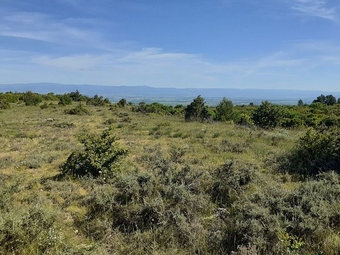
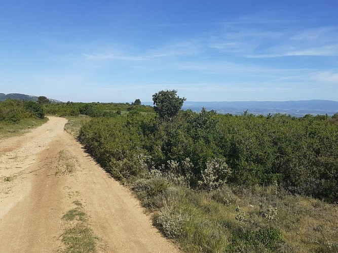
On a trail through the garrigue, enjoy a breathtaking view once you reach the ridges, then make your way back down through pine forests and vineyards.
Yellow Trail Markers
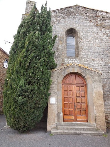
Start at Place du Château in Comigne. Take Rue de la Mairie, then at the fork, take Rue de la Boulangerie toward the stadium.
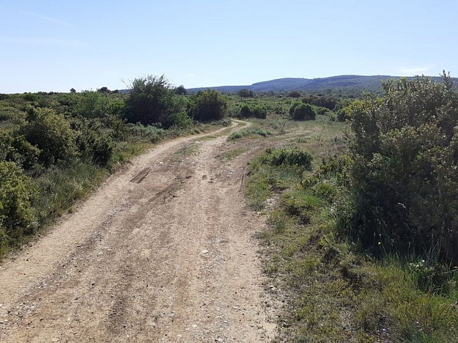
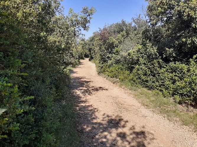
Once there, pass the sign for the “Sur les Crêtes de l’Alaric” loop, then head due south through the garrigue (low-growing vegetation on limestone soil) until you reach the GR36.
At the fork, turn left toward the “Bouscat” countryside, which you’ll leave on your right, and continue on the GR36 toward Le Signal.
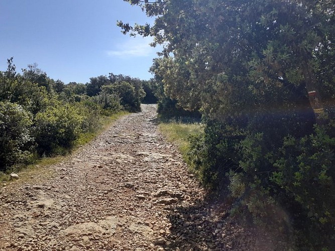
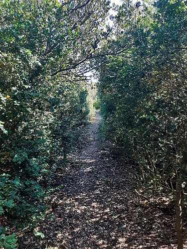
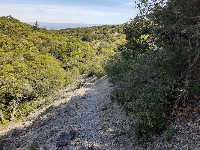
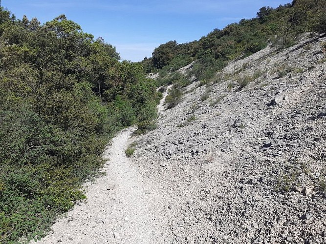
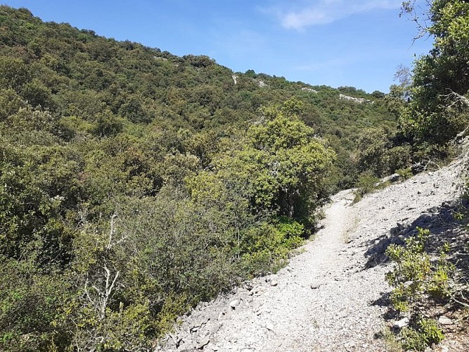
After 2.5 km, turn left through the dwarf holm oaks—their stunted growth is due to exposure to strong winds. Follow the trail as it descends and winds through the pine forest; note the presence of a huge holly tree. Then take the rocky mule trail at the bottom of the Combe de Migère, surrounded by limestone cliffs.
When you reach the vineyards, the trail markers will guide you through the middle of them.
Facing the highway, head back toward Comigne by taking the path to the left.
*********************************
The “Rando Grand Carcassonne” mobile app, available on Android and iOS, guides you on your hikes. Download your routes directly to your smartphone to view them offline and navigate using your device’s GPS.Available for free download on the Play Store and AppStore
Technical Information
Altimetric profile
Starting point
Additional information
Advised parking
place du Château
Access
From Carcassonne, take the D6113 to Capendu, where you’ll turn onto the D57 and then the D72 to Comigne.
Arrival
COMIGNE - Place du Château
Departure
COMIGNE - Place du Château
Data author
