Alert
Alerts
Strawberry Tree
Description
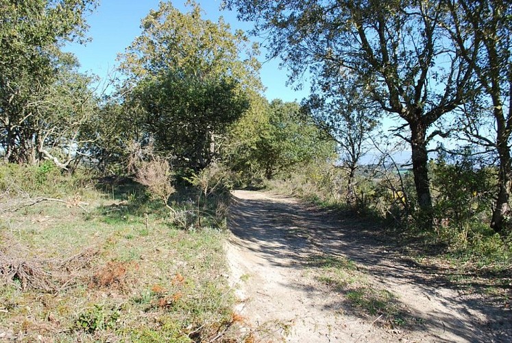
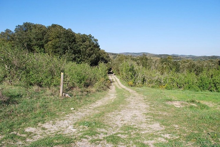
A beautiful hike through Mediterranean flora, among holm oaks, acacias, laurel, thyme, broom, heather, and lavender!
Start from the school parking lot at the sign.
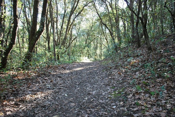
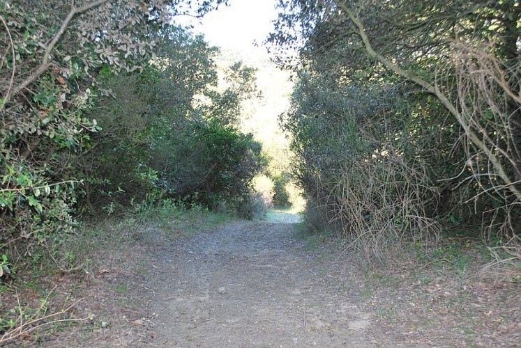
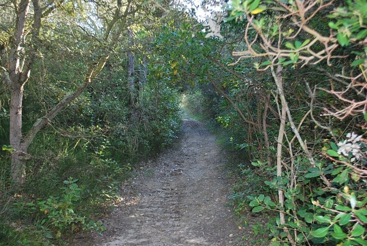
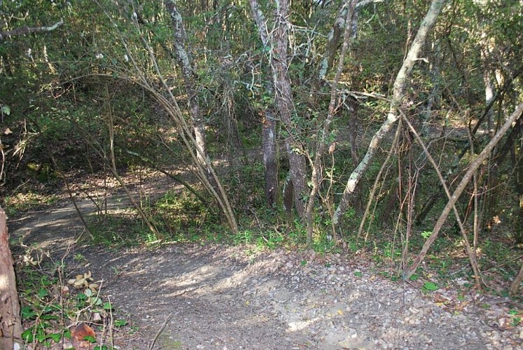
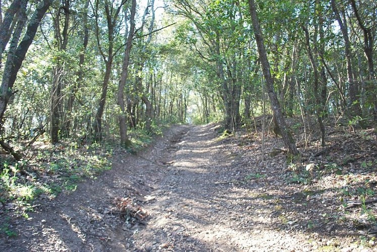
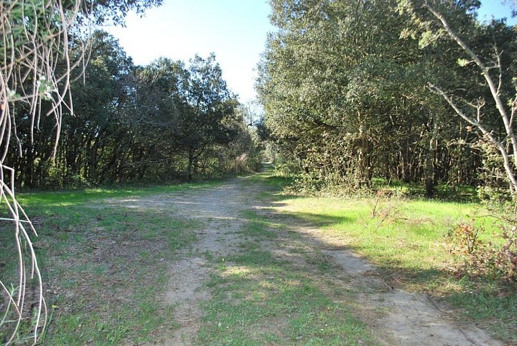
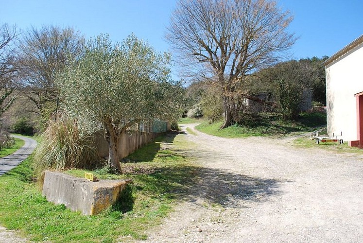
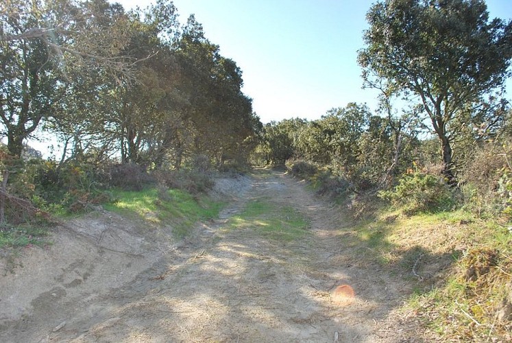
From the D36 coming from Carcassonne, head toward the village. When you reach the intersection, pass the fountain on your right and continue along Route de la Malepère, then take the second right (Chemin de Garrau). This road climbs between the new buildings, and on the slope to the left, a walnut tree stands alongside the elms. After the last houses, the paved road ends and the path runs between holm oaks. At the junction, head down to the right. A few acacia trees line the right-hand side of the path. Perhaps they were planted to make root-stock stakes? This trail descends through holm oaks, laurel, thyme, broom, and heather, leading to the stream, which you cross. The trail through the woods is very pleasant in summer, the oaks and strawberry trees overshadow the path. It climbs again and, further up, opens to a wider path. Rockroses, lavender, and thyme bushes along the sides. On the flat section, you’ll see the Sabran estate on the right. The path joins the D36; head right for 100 meters. Check out the rest area set up by the ONF (National Forest Office) below the road on the right. It’s a great spot for a short break! Then, cross the road and head up the trail that leads into the oak forest. The vegetation here is typically Mediterranean. Pass “Cazals” on your left and continue along the pine forest.
The trail joins the D36 road again; take it to the left for 800 meters until you reach the “La Boulbonne” farm (end of the route).
*You can join the “Sentier du Sanglier” trail from the town of Montclar at the “La Boulbonne” farm.
For the return trip, there are two possible routes:
1) the same route as on the way there.
2) head back down the D36 to Roullens.
Technical Information
Altimetric profile
Starting point
Additional information
Advised parking
Parking de l'école au niveau du panneau
Access
Take the D118 toward Limoux, then take the D211 turnoff, followed by the D36 toward Roullens.
Ambiance
A trail through the undergrowth that’s very popular in the summer.
Arrival
ROULLENS - “La Boulbonne” farm
Departure
ROULLENS - School parking lot
Data author
