Alert
Alerts
BOUCLE DE LA GLEYSETTE
Description
Notes:
- Ford: to be avoided in wet weather and during periods of high water.
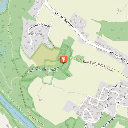
- Steep slope between Le Bugat (d) and Balandra (e).
- Dangerous junctions with the D 68, D 24 and D 4 roads.
- Water points at the Gleysette cemetery and Ramiers de Lacroix Falgarde.
- Shaded section on the alternative route: 1.6 km along the River Ariège.
Practical advice:
Mountain bikers and horse riders:
- Just after Tindo l’Esclop (1), a section closed to horses and mountain bikes: dismount or take the alternative route (see “Alternative Route”).
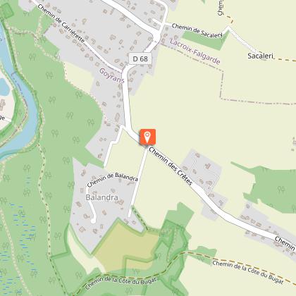
- Between Balandra (e) and the Bois de la Pounte (3), 600 m on a busy road (D 68).
Horse riders: a section suitable for galloping on the alternative route between Ramiers de Goyrans (b) and Croisée de la Carrerrasse (c), a 700-metre path through woodland.
Technical Information
Altimetric profile
Starting point
Steps
Additional information
Detailed stages
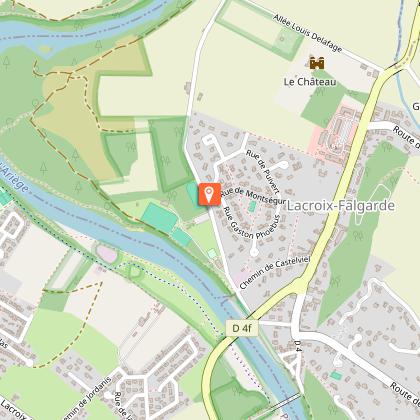
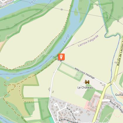
- Starting point: Lacroix-Falgarde walking trail information board.
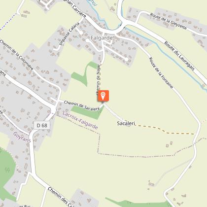
- Head towards La Gleysette via (1) Tindo l’Esclop, (2) La Carriérette, (3) Le Bois de la Pounte (panoramic view of the old mill, the hamlet of Falgarde and the Chapel of La Gleysette), (4) La Fourtête, (5) Le Gué du Cossignol.
Alternative route available – see “Alternative Route”.
- At the Gleysette Chapel, follow the signs for Lacroix-Falgarde, passing through (6) Aymard, (7) Sainte Christine, and (8) Lacroix Castle.
Variant - ALTERNATIVE ROUTE (3.6 km):
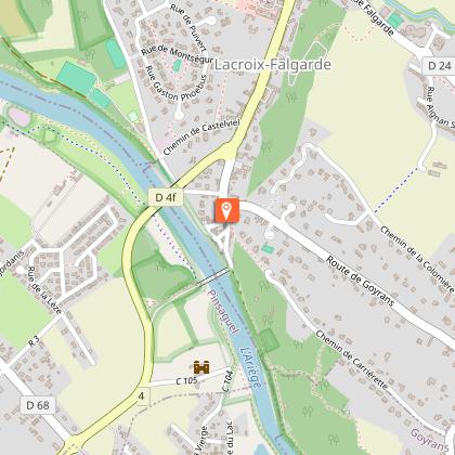
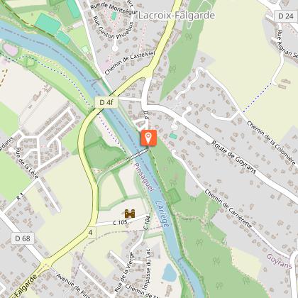
- At Tindo l’Esclop (1), head towards Clermont-Le-Fort via (a) the Vieux-Pont, (b) the Ramier de Goyrans, until you reach (c) the Carrerasse crossroads.
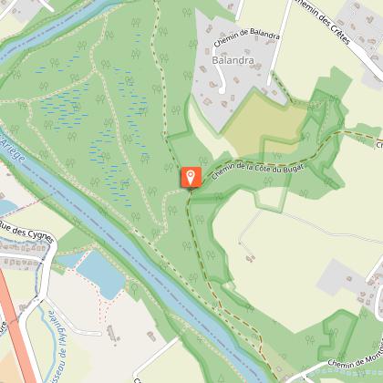
- At the Croisée de la Carrerasse, head towards Goyrans as far as (d) Le Bugat.
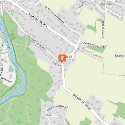
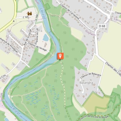
- At Le Bugat, head towards La Gleysette via (e) Balandra (views over the Ariège valley) to (2) La Carriérette.
- From there, follow the main route from (2) to continue the loop.
Services at the starting point
Car parking
Start and end town
LACROIX-FALGARDE
Contact
Website : https://www.sudest-toulousain.fr/
Email : contact@sudest-toulousain.fr
Data producer
Contact : HAUTE-GARONNE TOURISME / COMMUNAUTE D'AGGLOMERATION DU SICOVAL SUD-EST TOULOUSAIN
This information comes from the Haute-Garonne Departmental Tourism Network and is synchronized as part of the partnership between Cirkwi and Haute-Garonne Tourisme.
Data author
