Alert
Alerts
BOUCLE DU PIGEONNIER DE BAREGES
Description
Notes:
- Steep climbs before and after point (3)
- Between the starting point and (2): two steep descents
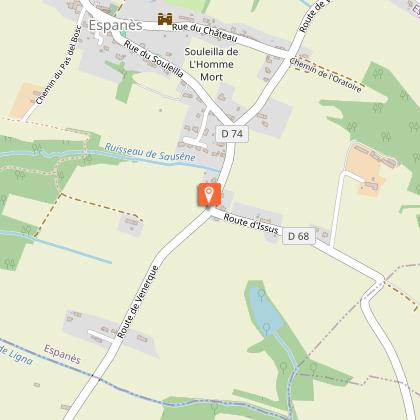
- Dangerous junction with the D 74 road
- Damp sections in the woodland
- Few shaded sections
- Water point at the Espanès cemetery
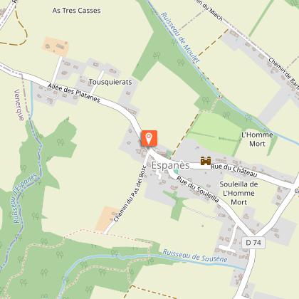
Start: Espanès Town Hall square.
Practical advice for horse riding and mountain biking:
Stairs between the starting point and (1), and between (4) and the starting point: dismount.
Technical Information
Altimetric profile
Starting point
Additional information
Detailed stages
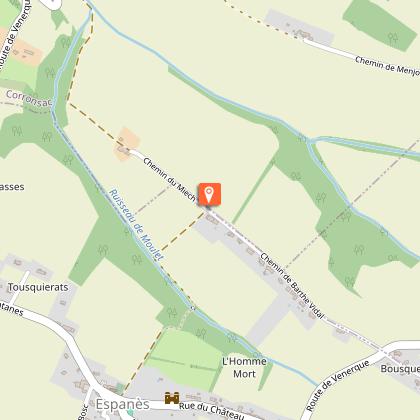
- Leaving the Town Hall square, where Saint-Martin’s Church is situated, walk along the cemetery wall, then turn left onto the path lined with a hedge. After 300 metres, turn right at the large oak tree. Follow the edge of the woodland (with a view of the rear of Espanès Castle) and enter it to continue along the path which descends to the bottom of the valley. On emerging from the woods, turn left and walk alongside them for 150 metres, then head up to the right between two fields towards the ...
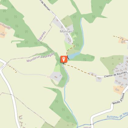
- At the tarmac track, turn right (view of the Urtaut farmstead in the valley opposite). At the junction with the road (a dangerous crossroads with poor visibility), carry on straight ahead along the Chemin de Montan (view to the left of the village of Montbrun-Lauragais: church and mill; panoramic view to the right of the Pyrenees in good weather). After 1 km, the road begins to descend and turns into a grassy track. Follow it to the junction.
-
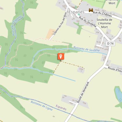
- At the junction with the D74, head towards Venerque. Just after the hillock, turn right onto the dirt track. At the entrance to the barn, turn immediately right onto the grassy path that runs alongside the field as far as the woods (view of the village of Espanès).
Start and end town
ESPANES
Contact
Website : https://www.sudest-toulousain.fr/
Email : contact@sudest-toulousain.fr
Data producer
Contact : HAUTE-GARONNE TOURISME / COMMUNAUTE D'AGGLOMERATION DU SICOVAL SUD-EST TOULOUSAIN
This information comes from the Haute-Garonne Departmental Tourism Network and is synchronized as part of the partnership between Cirkwi and Haute-Garonne Tourisme.
Data author
