Alert
Alerts
BOUCLE DES DEUX FONTAINES
Description
Notes:
- You can start from the Sicoval swimming pool or Jaques Prévert secondary school; begin the route description from (4).
- Take care after (1): narrow pavement alongside the D 16 road.
- Several shaded sections
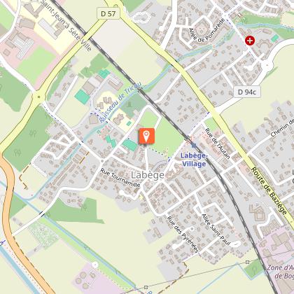
Starting point: Labège Town Hall car park.
Practical advice for horse riding and mountain biking:
Walk your horse between (2) and (3) when approaching the Saint Sernin fountain, and dismount before point (6).
After (2), there is a narrow, steeply sloping path: proceed at a walk for 150 m.
Horse riders: it is recommended to set off from the Sicoval swimming pool, shortly after point (4).
Technical Information
Altimetric profile
Starting point
Additional information
Detailed stages
- Take the path through the municipal park, opposite the town hall. When you reach the road, turn left to follow the cycle path. Go under the railway bridge and carry on straight ahead.
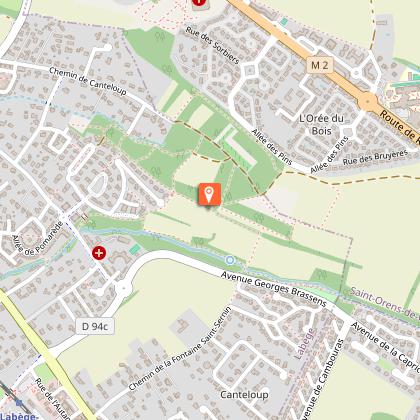
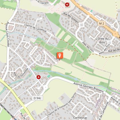
- At the crossroads, cross over and turn left straight away. After 150 m, turn right onto the tarmac track known as the Payssière until you reach the road. Turn left onto the cycle path for 150 m, cross the stream, then immediately cross the road to take the path leading into the woods. Follow it for 350 m until you reach a junction of paths.
- Turn right onto the path leading downhill. Walk along the edge of the field until you enter the woods, then carry on to the Saint-Sernin fountain. Continue along the path running alongside the stream until you reach a junction.
Variant (short form) - From (3), turn left and follow the track that climbs between the two fields. Enter the row of trees and take the path on the left. At the junction, follow the main route from (6) to continue the loop.
- Turn right, cross the stream and head up to the cycle path. Turn left at the fork. Just after the sign marking the entrance to the village of Escalquens, turn left into the woods and follow the path. Then take the grassy path running alongside the stream to re-enter the woods. Carry on straight ahead until you reach the edge of the woods and rejoin the cycle path.
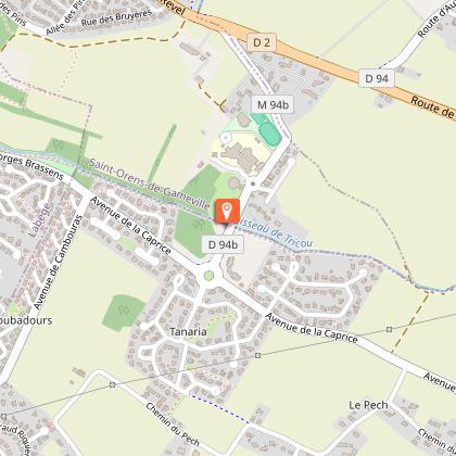
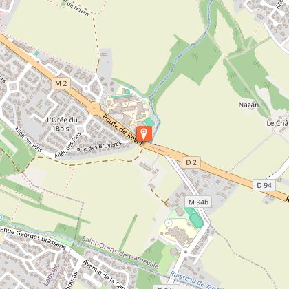
- Turn left. Walk past the swimming pool and the secondary school. The path turns left to join the D2. Continue along the pavement, following the plane trees for 150 metres, until you reach a junction after a fence.
- Follow the path.
- When you reach the houses, turn left onto the dirt track that leads downhill. At the junction, continue along the main track. Follow it for 350 m to return to the Laurier fountain. At the road, cross over and turn left for 150 m, then take the Chemin de la Payssière on the right again. At the D16 road, turn left, then at the traffic lights, cross over towards Labège-Village. Take the cycle path and, when you reach the park, turn right to cross through it and reach the town hall.
Services at the starting point
Car parking
Start and end town
LABEGE
Contact
Website : https://www.sudest-toulousain.fr/
Email : contact@sudest-toulousain.fr
Data producer
Contact : HAUTE-GARONNE TOURISME / COMMUNAUTE D'AGGLOMERATION DU SICOVAL SUD-EST TOULOUSAIN
This information comes from the Haute-Garonne Departmental Tourism Network and is synchronized as part of the partnership between Cirkwi and Haute-Garonne Tourisme.
Data author
